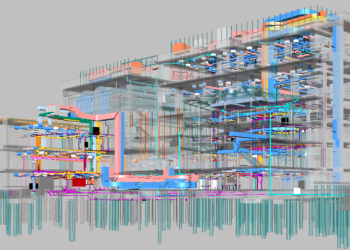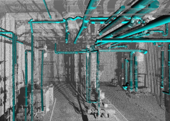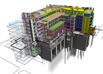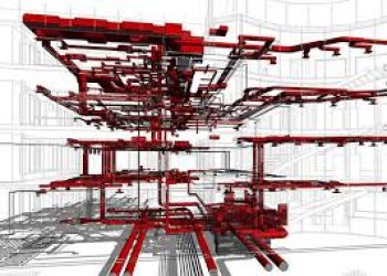
Apex provides complete BIM modeling services for transportation systems, utility infrastructure, terrain environments, scan-based projects, and architectural sectors. Through the integration of CAD, GIS, and reality capture data, we create precise, information-rich 3D models that support design coordination, construction execution, and asset lifecycle management.
With our delivery strategy, projects gain stronger visibility, better collaboration, and smarter decision-making across infrastructure and building developments, resulting in smoother planning, minimized risks, and consistent outcomes.
Detailed and data-rich 3D models of roads, highways, bridges, rail corridors, and tunnels are developed through our transportation-focused BIM modeling services. Engineering inputs, spatial datasets, and captured field information are combined within our workflow to strengthen planning, coordination, and construction activities.
Through the use of LiDAR, UAV, CAD, and survey sources, intelligent BIM models are created to improve analysis, enhance visualization, and support informed decisions across the entire transportation lifecycle.
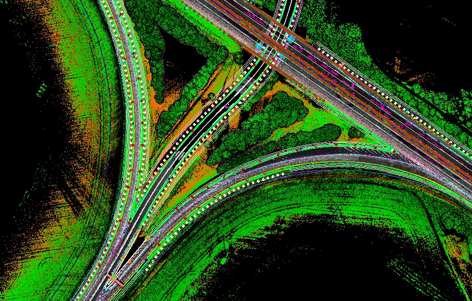
Typical Inputs:
CAD files, LiDAR datasets, UAV imagery, survey information, engineering designs
Typical Outputs:
Transportation BIM datasets, corridor models, profiles and sections, IFC outputs