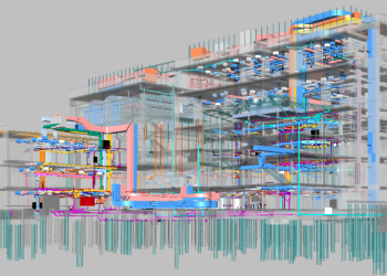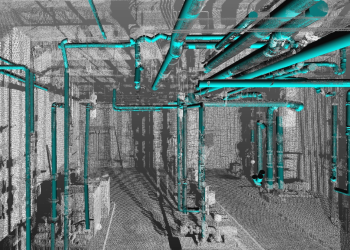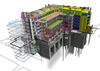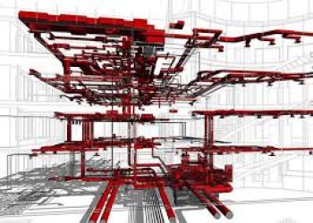
Apex provides complete BIM modeling services for transportation systems, utility infrastructure, terrain environments, scan-based projects, and architectural sectors. Through the integration of CAD, GIS, and reality capture data, we create precise, information-rich 3D models that support design coordination, construction execution, and asset lifecycle management.
With our delivery strategy, projects gain stronger visibility, better collaboration, and smarter decision-making across infrastructure and building developments, resulting in smoother planning, minimized risks, and consistent outcomes.
We provide terrain and site modeling services by integrating BIM and GIS data to create accurate, intelligent 3D representations of topography. These models support planning, coordination, and construction workflows through precise elevation and terrain information.
With survey inputs, drone imagery, LiDAR scans, and spatial datasets, we develop detailed terrain surfaces that represent both natural and built features.
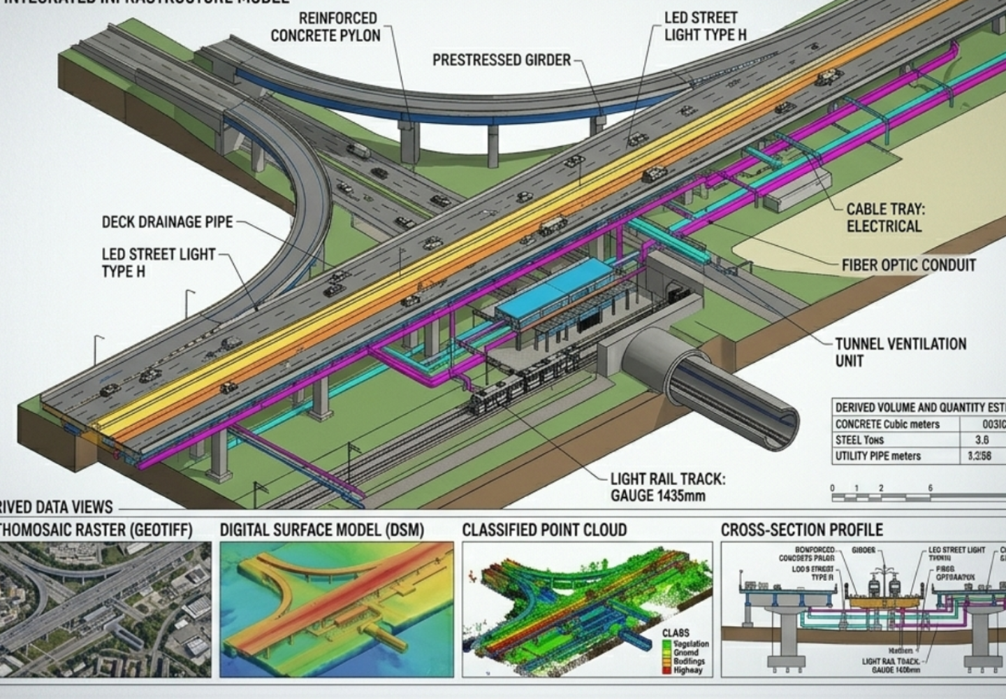
Typical Inputs:
Survey data, LiDAR point clouds, UAV imagery, GIS layers
Typical Outputs:
DTM/DEM datasets, terrain BIM models, site layouts, volume analysis outputs