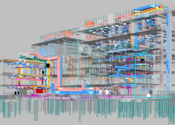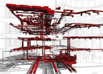
Apex provides complete BIM modeling services for transportation systems, utility infrastructure, terrain environments, scan-based projects, and architectural sectors. Through the integration of CAD, GIS, and reality capture data, we create precise, information-rich 3D models that support design coordination, construction execution, and asset lifecycle management.
With our delivery strategy, projects gain stronger visibility, better collaboration, and smarter decision-making across infrastructure and building developments, resulting in smoother planning, minimized risks, and consistent outcomes.
Detailed and data-rich 3D models of roads, highways, bridges, rail corridors, and tunnels are developed through our transportation-focused BIM modeling services. Engineering inputs, spatial datasets, and captured field information are combined within our workflow to strengthen planning, coordination, and construction activities.
Through the use of LiDAR, UAV, CAD, and survey sources, intelligent BIM models are created to improve analysis, enhance visualization, and support informed decisions across the entire transportation lifecycle.
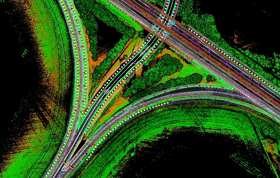
Typical Inputs:
CAD files, LiDAR datasets, UAV imagery, survey information, engineering designs
Typical Outputs:
Transportation BIM datasets, corridor models, profiles and sections, IFC outputs
Accurate 3D models of underground and aboveground infrastructure systems are developed through our BIM services for utility networks. These digital models assist planning, design coordination, construction execution, and long-term asset management within structured environments.
By combining survey information, GIS layers, and engineering specifications, detailed network models are produced to define routing, layouts, depth levels, clearances, and connectivity. This improves subsurface visibility, supports early issue resolution, and enhances coordination with other infrastructure elements.
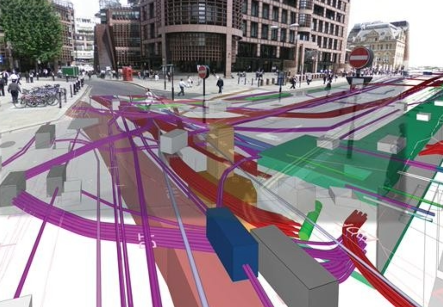
Typical Inputs:
Survey datasets, GIS layers, CAD files, utility records, LiDAR inputs.
Typical Outputs:
Utility BIM datasets, coordinated network models, as-built records, and IFC outputs
We provide terrain and site modeling services by integrating BIM and GIS data to create accurate, intelligent 3D representations of topography. These models support planning, coordination, and construction workflows through precise elevation and terrain information.
With survey inputs, drone imagery, LiDAR scans, and spatial datasets, we develop detailed terrain surfaces that represent both natural and built features.
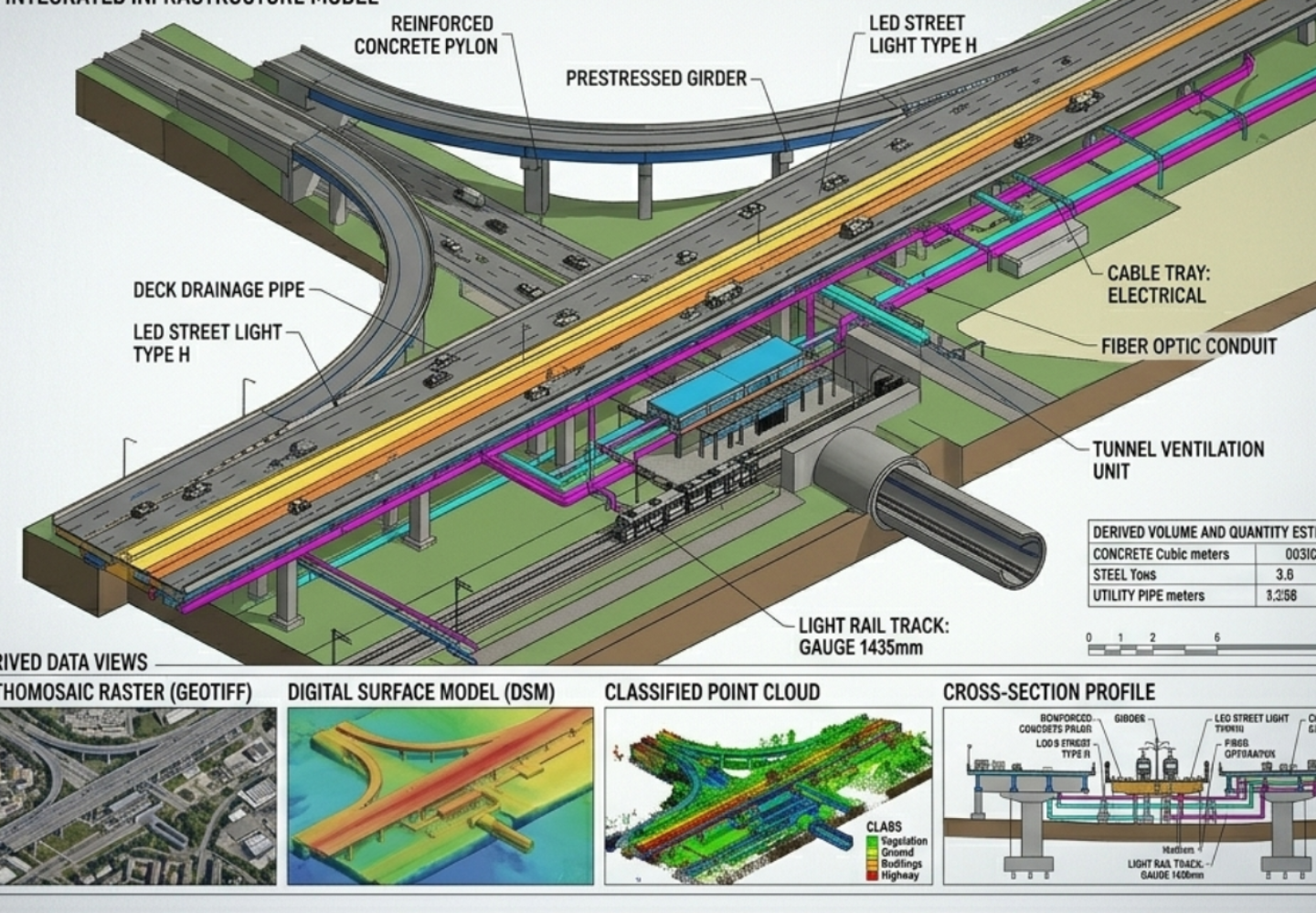
Typical Inputs:
Survey data, LiDAR point clouds, UAV imagery, GIS layers
Typical Outputs:
DTM/DEM datasets, terrain BIM models, site layouts, volume analysis outputs
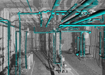
Structured and accurate BIM models are produced through our Scan-to-BIM services by converting complex point cloud datasets. These models offer dependable digital records of existing conditions that assist planning, inspection, maintenance, and rehabilitation workflows.
Detailed 3D models are created using LiDAR, terrestrial scanning, and mobile mapping technologies to capture geometry, surface conditions, and structural characteristics. This strengthens site understanding, lowers risks, and enables more effective decision-making.
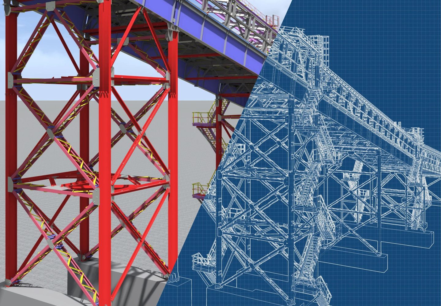
Typical Inputs:
LiDAR point clouds, terrestrial laser scans, mobile mapping datasets.
Typical Outputs:
BIM models, as-built infrastructure models, 3D asset representations, IFC datasets.
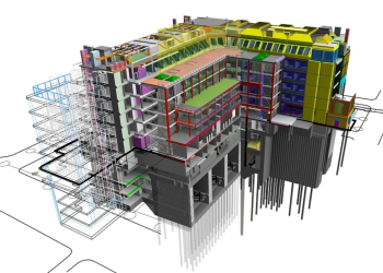
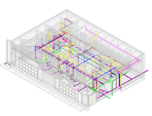
We offer end-to-end Architectural BIM modeling services that assist architects, designers, and construction professionals by delivering accurate, data-rich building models. Our capabilities include both design-intent modeling and Scan-to-BIM processes, allowing precise digital representations of new builds as well as existing structures for renovation, refurbishment, and construction projects.
By converting design concepts and reality capture data into integrated BIM environments, we improve visualization, simplify design workflows, and minimize coordination errors. Our models also facilitate seamless collaboration between architectural, structural, and MEP teams across all stages of a project.
Typical Inputs:
CAD files, design models, LiDAR data, point clouds, survey datasets
Typical Outputs:
Architectural BIM datasets, coordinated building models, LOD deliverables, IFC outputs