
Reliable, accurate, and well-structured digital information is essential for Architecture, Engineering, and Construction projects to support design, coordination, construction, and asset lifecycle activities. For buildings and large infrastructure, combining BIM with geospatial workflows enhances visual understanding, improves collaboration, and supports stronger decision-making across the entire project lifecycle.
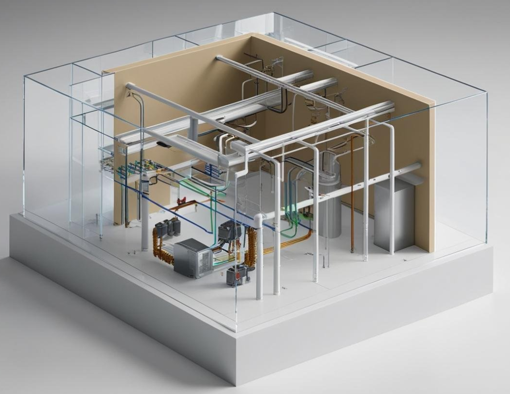
Unified BIM and geospatial data environments bring together architectural, structural, and MEP disciplines. Through our models, consistency is maintained across design, detailing, and construction stages, helping minimize clashes, inconsistencies, and coordination issues.
As a result, stakeholder collaboration improves, communication becomes more efficient, and execution is smoother across complex project environments.
Our modeling approach uses integrated data to improve design accuracy by combining survey inputs, LiDAR information, and existing plans within dependable BIM environments. This creates a realistic view of actual site conditions, lowers design risks, and supports informed engineering decisions throughout the project lifecycle.
The result is more reliable designs, reduced uncertainty, and stronger overall project performance.
We enhance construction delivery through detailed as-built models and organized datasets that support site planning, sequencing, and execution. Our services help reduce delays, increase workflow efficiency, and strengthen coordination among teams during construction phases.
This results in more reliable schedules and better utilization of resources on site.
We support long-term asset operations by delivering intelligent BIM models enriched with spatial and attribute data. These models enable maintenance planning, upgrades, and operational decision-making, helping maintain infrastructure performance well beyond project completion.
They also form a dependable digital foundation for future expansion and facility management processes.
Utility organizations rely on Apex for integrated geospatial engineering solutions that support network digitization, strengthen asset performance, and create resilient infrastructure systems.
Structured BIM data setup and model standardization processes
Conversion of point clouds into precise and detailed BIM models
Reliable as-built models developed from survey and construction data
Multi-discipline BIM coordination and clash detection solutions
Detailed modeling of buildings and infrastructure elements
BIM model verification, QA processes, and consistency checks
Our delivery model combines spatial data engineering, digital modeling, and analytics-driven insights to support complete utility infrastructure transformation initiatives.

Project scope, standards, and deliverable requirements are assessed using CAD, BIM, LiDAR, and survey inputs.

We convert multi-source data into standardized BIM environments with organized geometry, attributes, and modeling standards

Using engineering specifications, scan data, and design inputs, we create precise BIM and 3D models.

We execute systematic QA reviews, clash analysis, and model verification to maintain accuracy and compliance.

Validated BIM models and datasets are delivered in the required formats (IFC, Revit, CAD).
Through Apex’s BIM and geospatial frameworks, AEC stakeholders gain better design outcomes, smoother coordination, and higher delivery efficiency throughout each project phase.
High-precision BIM and geospatial data integration supports dependable design progress while minimizing uncertainty during early planning stages.
Collaborative models connect architectural, structural, and MEP disciplines, helping prevent clashes and reduce rework.
Digital models and as-built intelligence improve construction workflows and support stronger decisions at site level.
Advanced BIM models assist long-term asset management, maintenance strategies, and future infrastructure enhancements.
Work with our AEC specialists to elevate design standards, strengthen coordination, and drive data-led delivery across the full built environment lifecycle.