Utility Network BIM

Digital modeling of infrastructure for smarter & efficient project delivery.

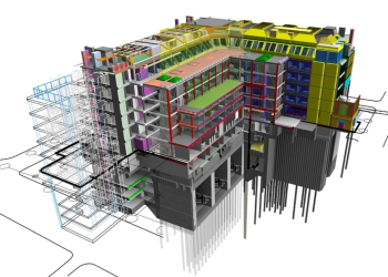
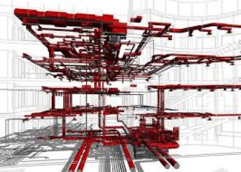
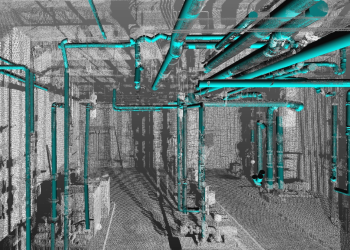
Apex provides complete BIM modeling services for transportation systems, utility infrastructure, terrain environments, scan-based projects, and architectural sectors. Through the integration of CAD, GIS, and reality capture data, we create precise, information-rich 3D models that support design coordination, construction execution, and asset lifecycle management.

With our delivery strategy, projects gain stronger visibility, better collaboration, and smarter decision-making across infrastructure and building developments, resulting in smoother planning, minimized risks, and consistent outcomes.
Utility Network BIM

utility_and network_bim

Services include:

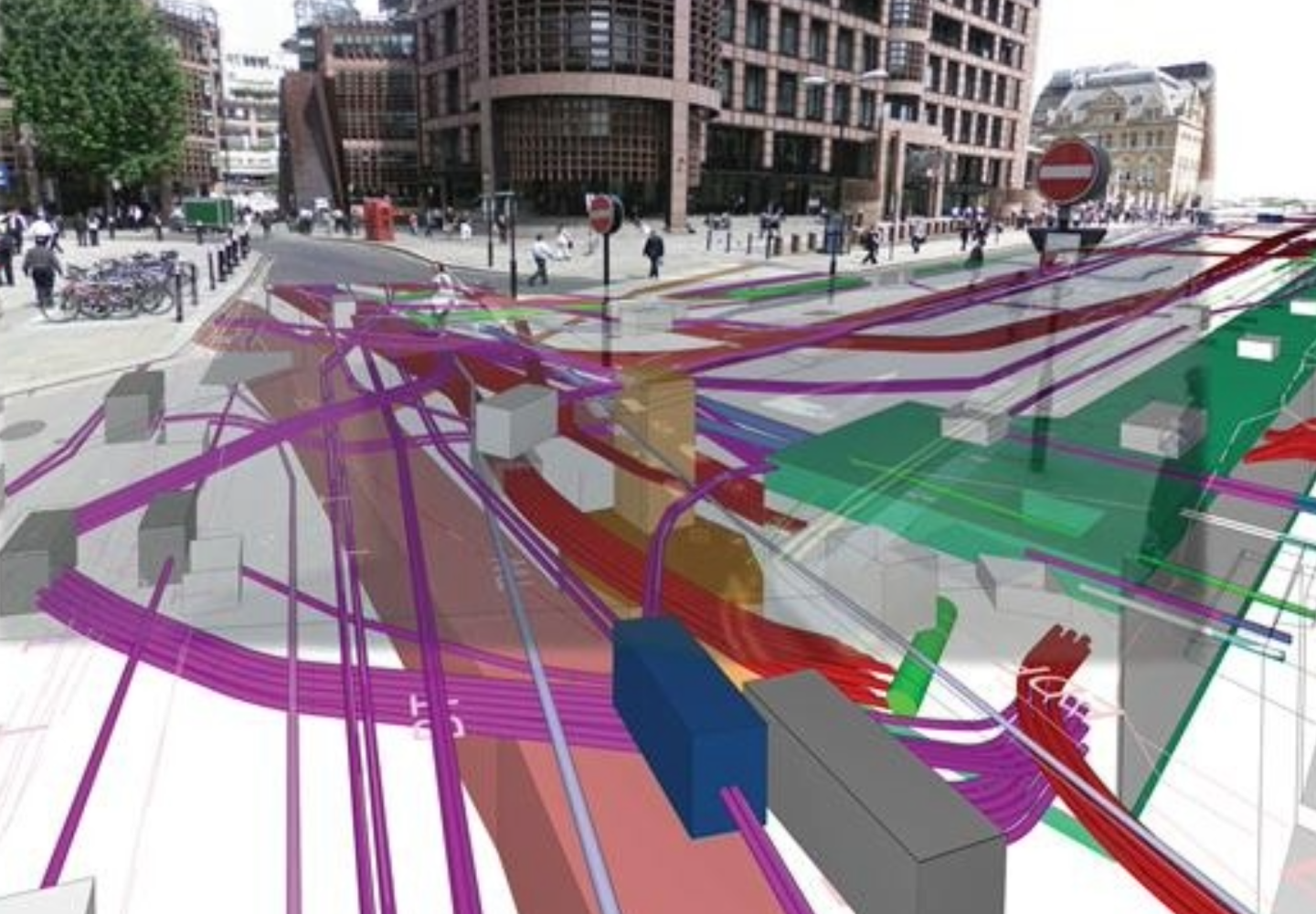
  • Water supply, wastewater, sewer, and stormwater system modeling.
  • Electrical and power network modeling.
  • Telecommunications and gas pipeline modeling.
  • Creation of coordinated and clash-free utility models
  • Detailed modeling of trenching, routing, and pipeline layouts.
  • Representation of network connectivity and asset relationships
  • Development of as-built BIM records for utility systems.

Typical Inputs:
Survey datasets, GIS layers, CAD files, utility records, LiDAR inputs.

Typical Outputs:
Utility BIM datasets, coordinated network models, as-built records, and IFC outputs
0%

Precision in Data Structuring

0%

Efficient Integration of Multi-Source Data

Key Service Areas

Reasons to Choose Our BIM and Infrastructure modeling Services

Need Intelligent BIM Solutions for Infrastructure Projects?