
Our expertise is centered on providing dependable, high-quality geospatial services customized for each project. Through accuracy, innovation, and a committed approach, we deliver solutions that meet rigorous standards and contribute to our clients’ long-term success.
We convert raw spatial information into accurate and structured geospatial datasets. Our capabilities include map digitization, georeferencing, feature extraction, GIS database development, and spatial quality assurance. The resulting data supports planning, infrastructure development, and informed decision-making.
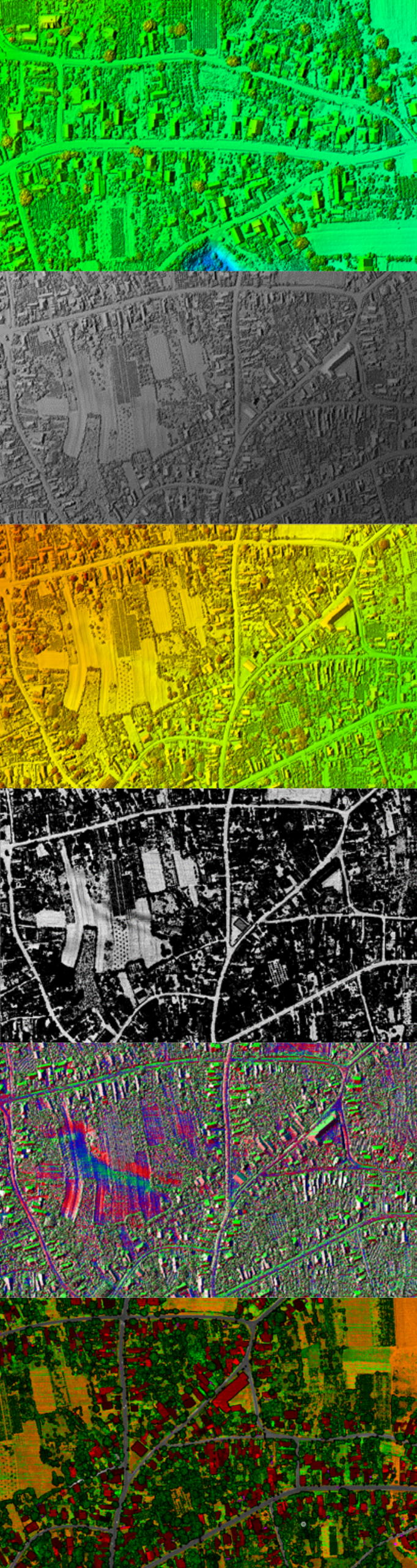
We process LiDAR point clouds and 3D datasets to create terrain models, building representations, and urban environment models. Our expertise covers classification, feature extraction, DEM/DTM creation, and detailed 3D modeling for engineering and smart city initiatives
We develop high-precision BIM models for buildings, transportation corridors, bridges, and utility infrastructure. Our services support design, construction, renovation, and asset management through accurate digital representations of infrastructure projects.
We provide mapping and documentation services for underground and above-ground utility systems, including water, gas, electricity, telecommunications, and drainage networks. Our solutions enhance asset visibility, maintenance planning, and operational performance for infrastructure operators.
We map and document road infrastructure, sidewalks, bicycle lanes, traffic signs, parking facilities, and mobility assets with high spatial accuracy. Our services support transportation planning, road safety improvements, and sustainable mobility initiatives.
We produce geospatial annotations for AI training datasets, machine learning applications, and automated mapping workflows. Our expertise includes image labeling, object detection, feature classification, and GeoAI support for satellite imagery, LiDAR, and street-level datasets.
We provide support for land surveying, terrain analysis, environmental mapping, and land-use documentation for planning and development projects. Our services help organizations manage natural resources, green infrastructure, and environmental compliance efficiently.
We deliver dependable geospatial services with accuracy, efficiency, and expertise tailored to your project requirements.
Our team remains available to provide continuous support and ensure smooth project execution whenever required