Energy and utility networks including electricity distribution, water supply, gas pipelines, and telecom infrastructure rely on accurate geospatial data for efficient planning, operations, and maintenance. Managing widely distributed utility infrastructure requires multi-source geospatial data integration, utility network asset digitization, and dependable digital representation of real field conditions.
We deliver remote desktop inspection services for overhead distribution and transmission networks using high-resolution aerial imagery, LiDAR corridor mapping, and advanced sensing data. This approach identifies power line asset health conditions, vegetation encroachment detection, and potential network risks without field mobilization.
Our scalable utility inspection workflows enable cost-effective monitoring, helping utilities prioritize maintenance planning and sustain long-term network reliability.
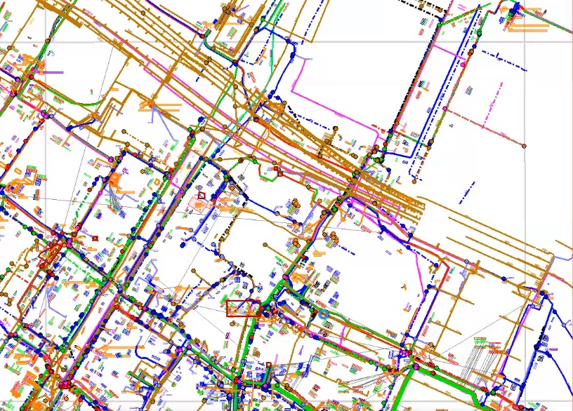
We assist in creating structured utility network datasets by digitizing information from varied sources such as CAD drawings, scanned maps, survey records, and imagery. Our method ensures precise interpretation of network elements, including connectivity, asset types, and attributes. By transforming unstructured or legacy data into standardized GIS formats, we help develop dependable digital network models that support efficient operations, analysis, and long-term asset management.
We help keep utility network datasets accurate and current by incorporating new information from surveys, LiDAR, imagery, and as-built documentation. Our services focus on refining geometries, refreshing attributes, and verifying connectivity to match real-world conditions. This ensures GIS databases stay consistent and dependable, supporting stronger planning, maintenance, and operational decision-making across evolving infrastructure networks.
We bring utility network datasets from different sources into one consistent and standardized framework. Our workflow covers coordinating coordinate systems, restructuring data models, and balancing attributes with classifications. This strengthens data reliability, supports smooth interoperability between systems, and increases analysis efficiency. Unified datasets allow organizations to maintain dependable network records and satisfy internal and regulatory standards.
Apex supports utility organizations with integrated geospatial data management services designed to digitize infrastructure, improve asset performance, and build stronger system resilience.
Geospatial acquisition, mapping, and organization of electricity, gas, and water infrastructure networks.
Post-migration quality control with defined validation processes and detailed manual checks.
Creation of structured spatial databases with validation aligned to client requirements and specifications.
Assessment of asset condition, vegetation interference, and potential risk factors.
Accurate corridor insights for transmission lines and pipeline infrastructure.
3D datasets supporting visualization, conflict analysis, and digital twin implementations.
We combine spatial data processing, digital modeling, and analytics-driven approaches to support the transition of utility networks into scalable and future-ready digital environments.

Reviewing multi-source data to identify gaps, inconsistencies, and quality issues.

Developing workflows and confirming approaches through pilot area processing.

Refining workflows and establishing communication for decisions and issue resolution.

Performing data processing with integrated QA/QC and and compliance validation.

Providing validated data along with documentation, reports, and error records.
Partner with our geospatial engineering team to modernize utility networks, improve asset transparency, and enable data-driven infrastructure planning across transmission and distribution landscapes.
Fast-tracked geospatial data acquisition and database development enabling efficient utility asset digitization.
Centralized desktop-based asset review supporting precise tracking and continuous infrastructure oversight.
Forward-looking infrastructure insights enabling risk reduction and sustained operational performance.
Forward-looking infrastructure insights enabling risk reduction and sustained operational performance.
Modernize utility networks, strengthen asset visibility, and advance data-driven infrastructure planning across transmission and distribution ecosystems by partnering with our geospatial engineering experts.