Apex provides professional land use mapping services and environmental GIS services for urban planners, environmental agencies, forestry operators, land authorities, and real estate asset managers. We combine remote sensing land cover analysis, LiDAR terrain analysis, and drone mapping services to produce accurate, analysis-ready spatial datasets for land planning, taxation, environmental planning programs.
Our geospatial land analysis capabilities span the full data lifecycle from raw satellite, aerial, and LiDAR capture through GIS spatial digitization, feature extraction, and structured output delivery.
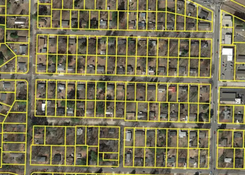
Our GIS spatial digitization service converts satellite imagery, scanned maps, aerial photography, and survey records into structured, analysis-ready environmental GIS layers.
We apply georeferencing, geocoding, and multi-source data integration to build accurate spatial repositories for land planning, environmental reporting, and infrastructure analysis compatible with ArcGIS, QGIS, and enterprise GIS environments.
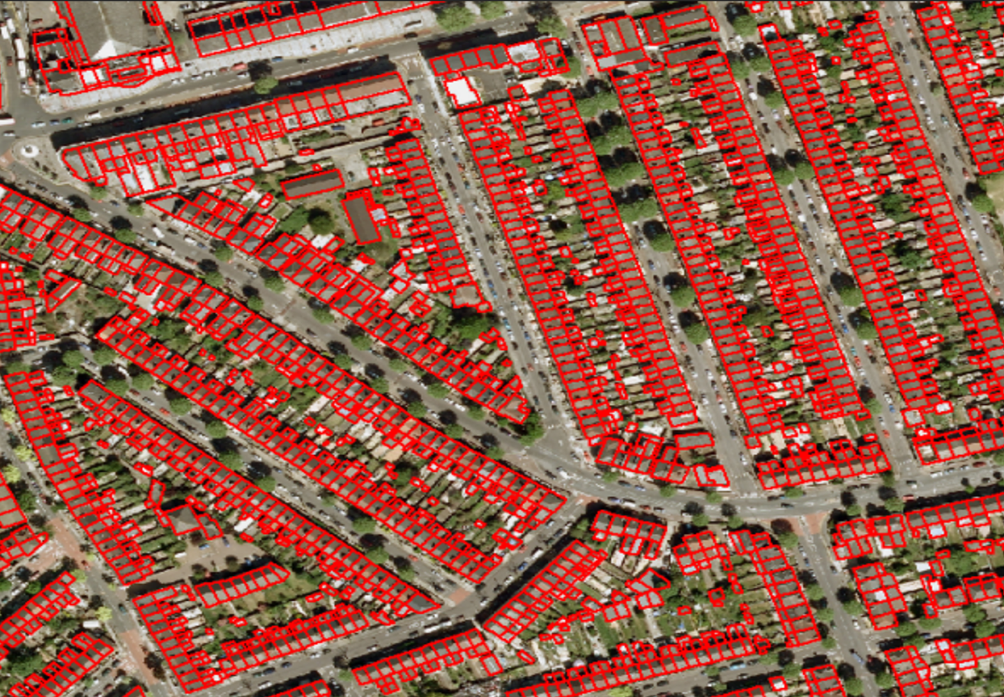
Georeferencing and geocoding of spatial and non-spatial land datasets
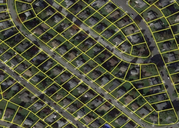
Digitization and Vectorization of natural features, built environment elements, and land boundaries.
Identification and Classification of Land, vegetation, and built-up features in GIS
Data conversion of multi-source land related datasets into GIS-compatible structures
Manual Quality checking of high-volume GIS spatial outputs after Custom workflow tooling
Typical Inputs:
Satellite imagery, scanned maps, survey datasets, aerial images
Typical Outputs:
Organized GIS layers, digitized spatial features, geospatial data repositories
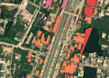
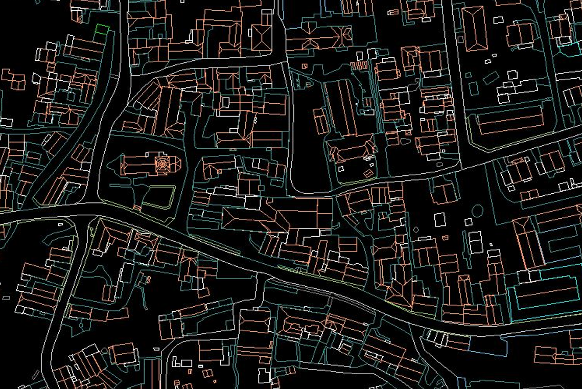
Our impervious surface Desktop mapping service delivers detailed 2D and 3D spatial analysis of sealed surfaces rooftops, roadways, carparks, and hardscape to support municipal authorities with property assessment, stormwater planning, and urban land use analysis.
We apply photogrammetric reconstruction, aerial triangulation, and DEM/DTM modeling to produce high-accuracy surface classification outputs aligned to urban planning and land taxation workflows.
Typical Inputs:
Aerial images, satellite datasets, analog photographs, and elevation information
Typical Outputs:
Orthophotos, DEM/DTM models, surface analysis layers
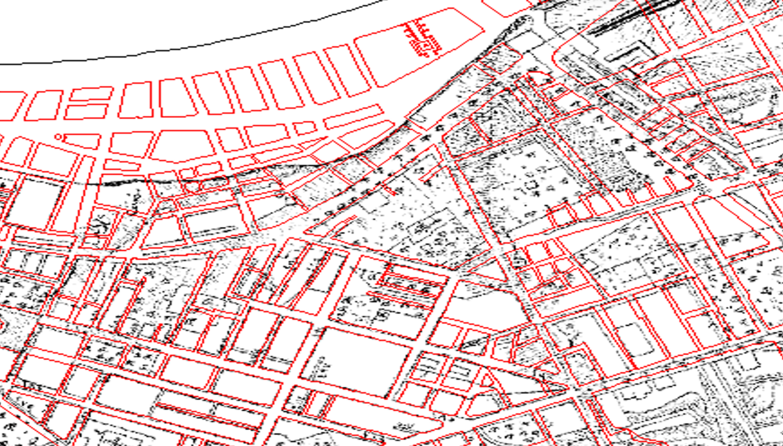
Our land use mapping services support integrated geospatial asset management for forestry operators, agricultural agencies, real estate portfolios, and institutional land authorities.
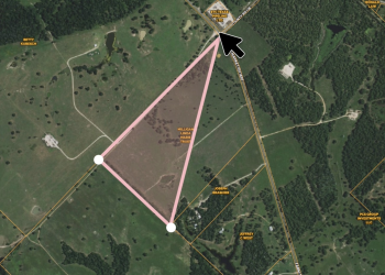
We combine LiDAR terrain analysis, satellite imagery, and survey data to produce structured land parcel analysis outputs, vegetation mapping GIS layers, and boundary datasets for land registration and operational planning systems.
Typical Inputs:
LiDAR datasets, satellite imagery, maps, survey documentation
Typical Outputs:
Asset inventories, GIS-based land databases, vegetation and land-use layers
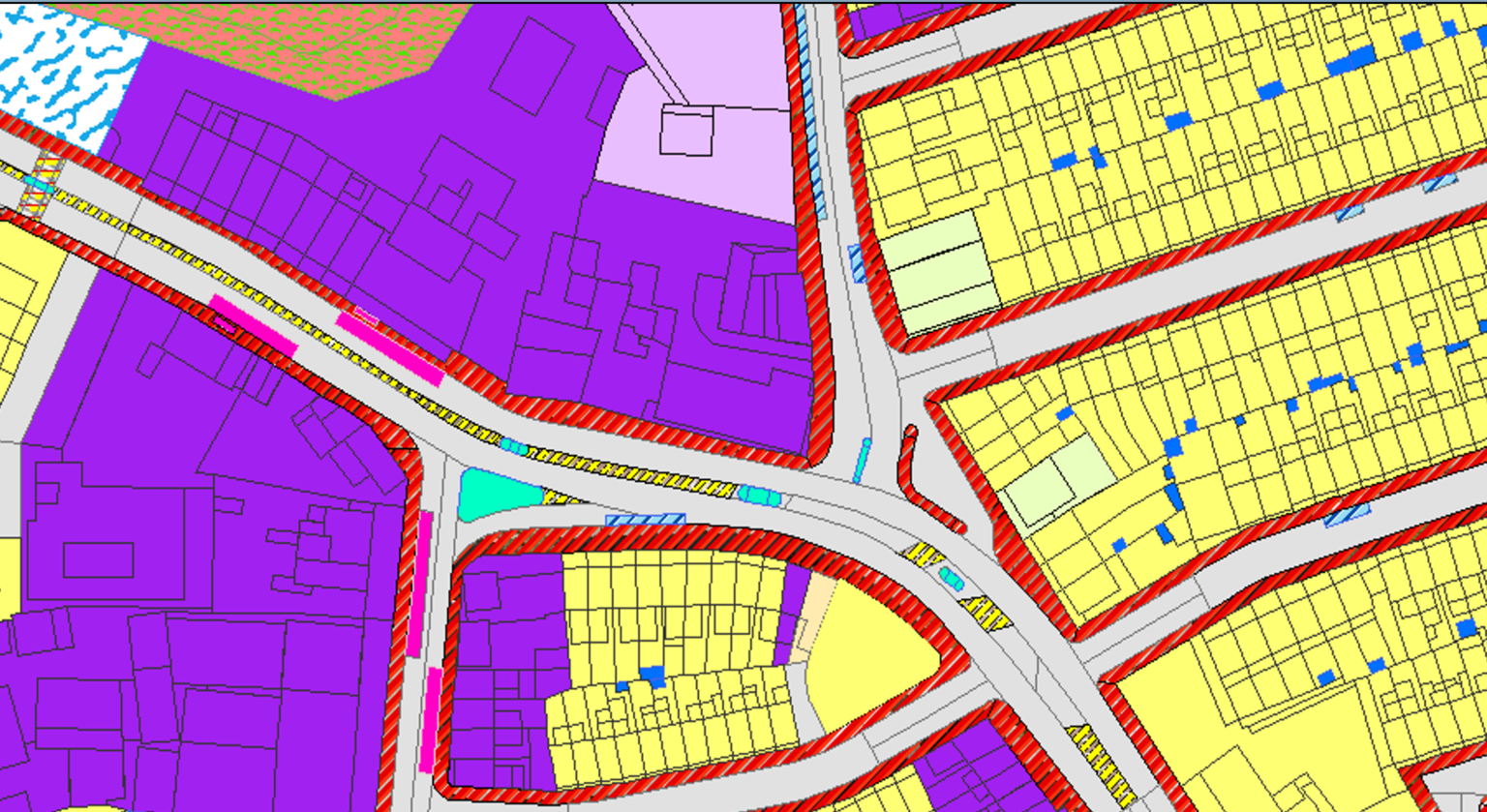
Our environmental impact assessment GIS service transforms satellite imagery, survey records, and environmental field data into organized spatial layers for land planning, regulatory reporting, and sustainable land use planning programs.
We produce vector representations of land use, vegetation, cadastral boundaries, and environmental risk zones structured for ingestion into ArcGIS, Google Earth Engine, and environmental decision-support platforms.
Typical Inputs:
Satellite data, scanned maps, survey inputs, GIS layers
Typical Outputs:
Vector data outputs, structured GIS layers, environmental data systems
Our Remote Sensing land cover service processes drone, UAV, satellite, and airborne LiDAR datasets to generate structured, classification-ready spatial outputs for land and environmental applications.
We apply LiDAR terrain analysis, photogrammetric processing, and multispectral classification to produce DEM/DTM terrain models, vegetation height layers, and land cover maps compatible with ArcGIS, QGIS, ENVI, and Google Earth Engine analysis environments.
Typical Inputs:
Drone imagery, UAV data, airborne LiDAR, satellite imagery
Typical Outputs:
Orthophotos, classified LiDAR datasets, DEM/DTM, GIS-ready mapping layers