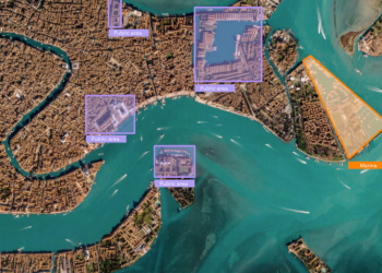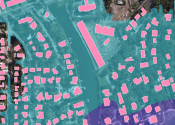
Apex delivers specialized geospatial annotation services and GeoAI data services for AI developers, autonomous system engineers, and smart infrastructure teams. We produce high-accuracy AI training data from satellite imagery, aerial captures, street-level visuals, and LiDAR point clouds — engineered for machine learning geospatial data pipelines, computer vision training data workflows, and GIS machine learning integration.
Our structured annotation processes support autonomous driving dataset production, smart city geospatial data programs, and infrastructure analytics platforms. Every output is quality-validated to ensure consistency, spatial accuracy, and model-readiness at scale.
Our geospatial annotation services generate high-accuracy AI training data from satellite, aerial, and street-level imagery sources. We extract and label spatial features, roads, buildings, utilities, and infrastructure assets using pixel-level image segmentation annotation and object detection workflows compatible with leading computer vision training data frameworks including TensorFlow, PyTorch, and CVAT.
Outputs are structured for direct ingestion into machine learning geospatial data pipelines, ensuring consistency, classification accuracy, and spatial precision.
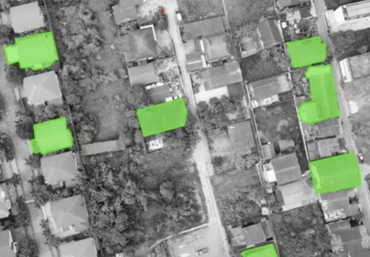
Object annotation using satellite, aerial, and street-level imagery
Labeling of roads, buildings, utilities, and infrastructure-related assets
Pixel-level image segmentation and feature classification
Development of training datasets for computer vision and AI applications
Quality-assured manual and semi-automated annotation processes
Typical Inputs:
Satellite data, aerial captures, street-level visuals, LiDAR point clouds
Typical Outputs:
Tagged datasets, labeled visuals, segmentation outputs, AI-ready training datasets
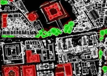
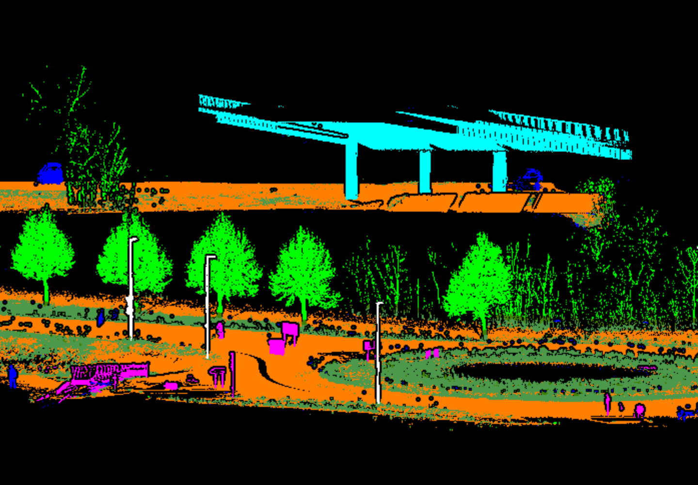
Our LiDAR annotation services specialize in labeling and categorizing 3D point cloud datasets for AI-based analysis across infrastructure, environmental monitoring, and mobility applications.
We process LAS/LAZ files and MLS mobile mapping data to produce classification-ready point cloud annotation outputs for autonomous driving dataset programs and urban intelligence platforms.
Key Services:
Typical Inputs:
LiDAR point clouds (LAS/LAZ), mobile mapping (MLS) data, imagery
Typical Outputs:
Segmented point clouds, annotated datasets, AI-ready training data
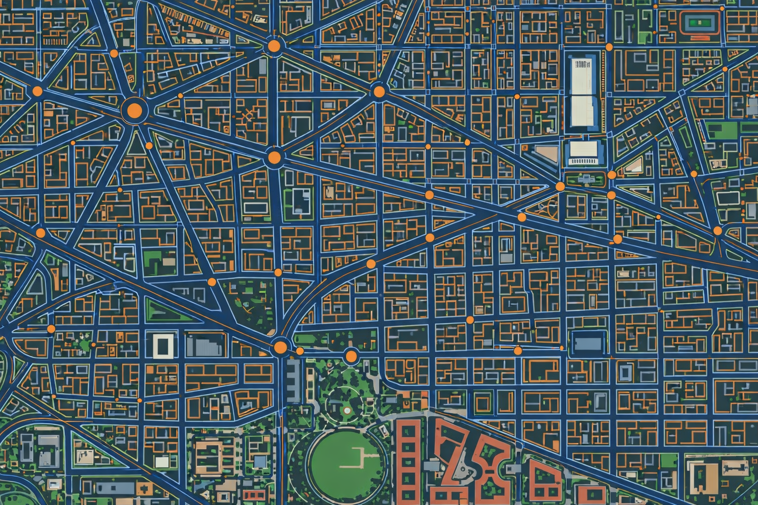
We develop structured, benchmark-quality AI training data for training, validation, and testing of GeoAI models and computer vision training data pipelines.
Our dataset engineering process covers data refinement, normalization, augmentation, and balanced class distribution — with full metadata documentation for compliance with ML governance standards.
Typical Inputs:
Annotated source data, imagery, point clouds, GIS layers
Typical Outputs:
Training, validation, and test datasets with documentation
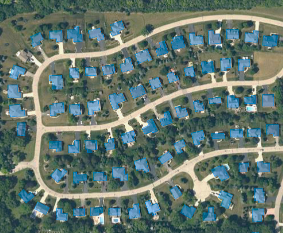
Our spatial feature extraction AI service derives and organizes geospatial features from annotated imagery and LiDAR inputs to support automated detection, classification, and mapping workflows.
Extracted features are structured into GIS-compatible vector layers ready for model ingestion, spatial analysis, and GIS machine learning integration.
Typical Inputs:
Imagery, LiDAR data, GIS layers
Typical Outputs:
Vector datasets, structured feature layers, enriched spatial data
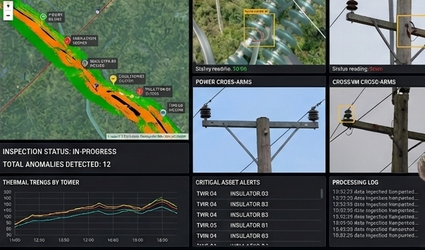
Our annotation quality assurance service ensures every annotated dataset meets the accuracy, consistency, and classification standards required for high-performance AI model training.
We apply layered QA protocols across large-scale geospatial datasets — identifying labeling errors, correcting classification inconsistencies, and validating spatial precision before dataset delivery.
Typical Inputs:
Annotated datasets, model outputs, validation data
Typical Outputs:
Quality-checked datasets, QA reports, refined training data