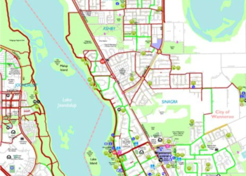
Mobility & Road Asset Mapping

Geospatial solutions for road, railway, and highway infrastructure

Apex enables transportation and mobility systems through advanced geospatial data processing, creating precise digital representations of road, highway, and rail networks. Our capabilities support infrastructure planning, asset lifecycle operations, and smart mobility initiatives using structured, high-quality spatial data.

We utilize diverse datasets such as LiDAR, imagery, CAD, and mobile mapping inputs to produce reliable GIS outputs, 3D models, and high-definition mapping products for evolving transportation ecosystems.

Next-Generation Mobility Data Services

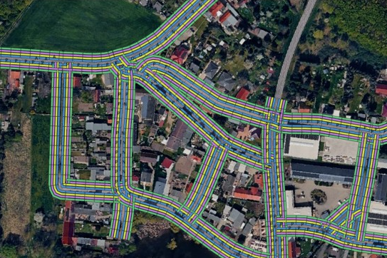
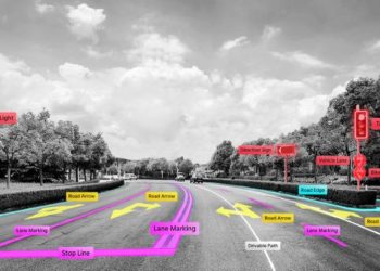
We deliver accurate 2D and 3D feature extraction services using a wide range of input datasets. Our workflows transform complex urban and transportation environments into structured GIS-compatible vector datasets in both 2D and 3D formats.

All extracted features are captured with high spatial accuracy, standardized classification, and material attribution, supporting infrastructure planning, analysis, and seamless integration into client-specific geospatial and engineering systems.

Services include:

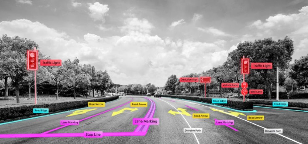
Road infrastructure mapping, including road lanes, markings, and transportation corridors
Extraction of bus lanes, bus bays, and dedicated traffic management zones
Mapping of on-street parking spaces and organized parking facilities
Digitization of sidewalks, cycling paths, and shared mobility areas
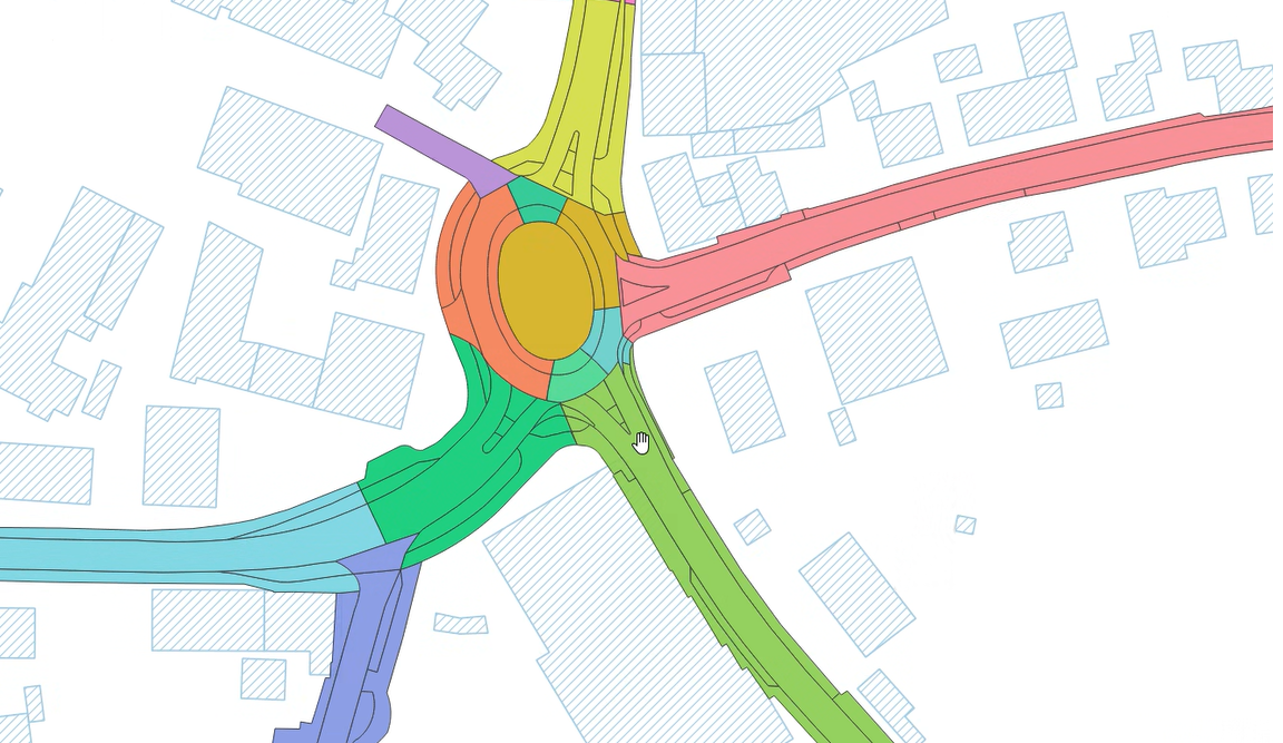
Extraction of traffic islands, medians, roundabouts, and related road structures
Mapping of tree pits, landscaped zones, vegetation areas, and unpaved sections
Identification of temporary works, construction zones, and restricted-access areas

Typical Inputs:
Orthophotos, panoramic imagery, UAV data, GIS network data, aerial imagery, survey information, and related datasets

Typical Outputs:
GIS-ready vector datasets (shapefiles/geodatabases) containing classified 2D features with associated attributes

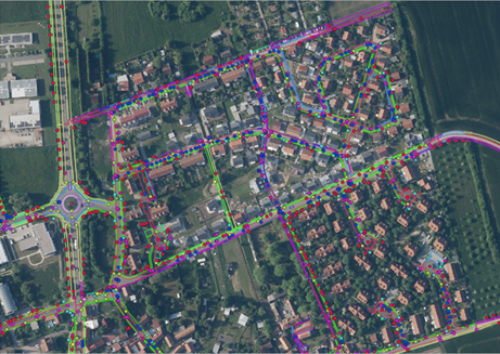
We capture and digitize detailed street-level objects in both 2D and 3D across urban and roadway corridors. Our services transform real-world infrastructure into structured GIS-compatible datasets using aerial and mobile mapping data, including the extraction of asset attributes, spatial relationships, and validation of feature locations and classifications.

The resulting datasets support asset management, infrastructure planning, digital twin initiatives, and 3D city modeling applications.
Services include:

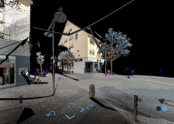
Street lighting, hydrants (surface and underground), and other utility-related infrastructure
Drainage infrastructure including drains, curb inlets, and stormwater management features
Roadside safety installations such as bollards and protective barrier elements
Urban furniture including benches, bicycle racks, and public seating facilities
Vegetation features such as trees and landscaped roadside green spaces
Waste management assets including trash bins and dog waste disposal units
Signage and information systems including advertising boards, cycling signs, and hiking or wayfinding markers

Typical Inputs:
Imagery sources, LiDAR datasets, survey records, existing asset data

Typical Outputs:
GIS-based inventories, attributed infrastructure datasets

We deliver complete 2D and 3D traffic sign inventory and annotation services for road networks and urban environments. Our digitization process captures asset locations, classifications, attributes, and spatial relationships with nearby infrastructure, along with other relevant information.

The resulting datasets support transportation authorities, municipalities, navigation platforms, maintenance operations, and digital twin initiatives.
Services include:

Traffic signs including regulatory, warning, and informational signage classified using country-specific coding systems (for example, German StVO codes with more than 1,000 sign categories)
Bicycle signage such as cycling route indicators, trail markers, and directional guidance signs
Roadside guideposts, delineators, and marker installations
Electronic traffic systems including variable message signs and digital traffic displays
Tourism-related signage including destination boards and visitor information signs
Support structures such as standard poles, signposts, and mounting elements
Traffic signal and lighting structures including signal poles, cantilever supports, bridge-mounted poles, and lighting masts

  • Typical Inputs:

    High-resolution imagery, LiDAR data, mobile mapping data

    Typical Outputs:
    Vector feature layers, structured GIS datasets, annotated road features

We offer desktop-based condition assessment services for roads, pavements, and roadside infrastructure using geospatial imagery and digital survey datasets. Our evaluations identify surface defects, infrastructure conditions, safety concerns, and environmental impacts.

We also carry out manual validation following AI-driven detections to ensure accurate, consistent, and maintenance-ready results for effective planning and decision-making.

Services include:

Evaluation of pavement surfaces for cracks, sealed fractures, patchwork, and repair areas
Analysis of surface deterioration such as open joints, material wear, breakouts, and binder-related defects
Condition assessment of roadside assets including signs, poles, drainage systems, street furniture, and road markings
Inspection of poles for corrosion, leaning, structural issues, and collision damage
Assessment of road markings for fading, missing sections, and surface wear
Vegetation inspection to identify visibility obstructions, excessive growth, and roadside encroachments
Review of drainage systems, channels, curbs, and related roadside structures
Manual quality assurance and verification of AI-generated detection results to ensure accuracy and consistency

Typical Inputs:

Street-level imagery, mobile mapping datasets, aerial photographs, point cloud data, and GIS/CAD information

Typical Outputs:
Condition assessment reports, defect inventories, GIS-compatible layers, prioritized maintenance datasets, and validated inspection results

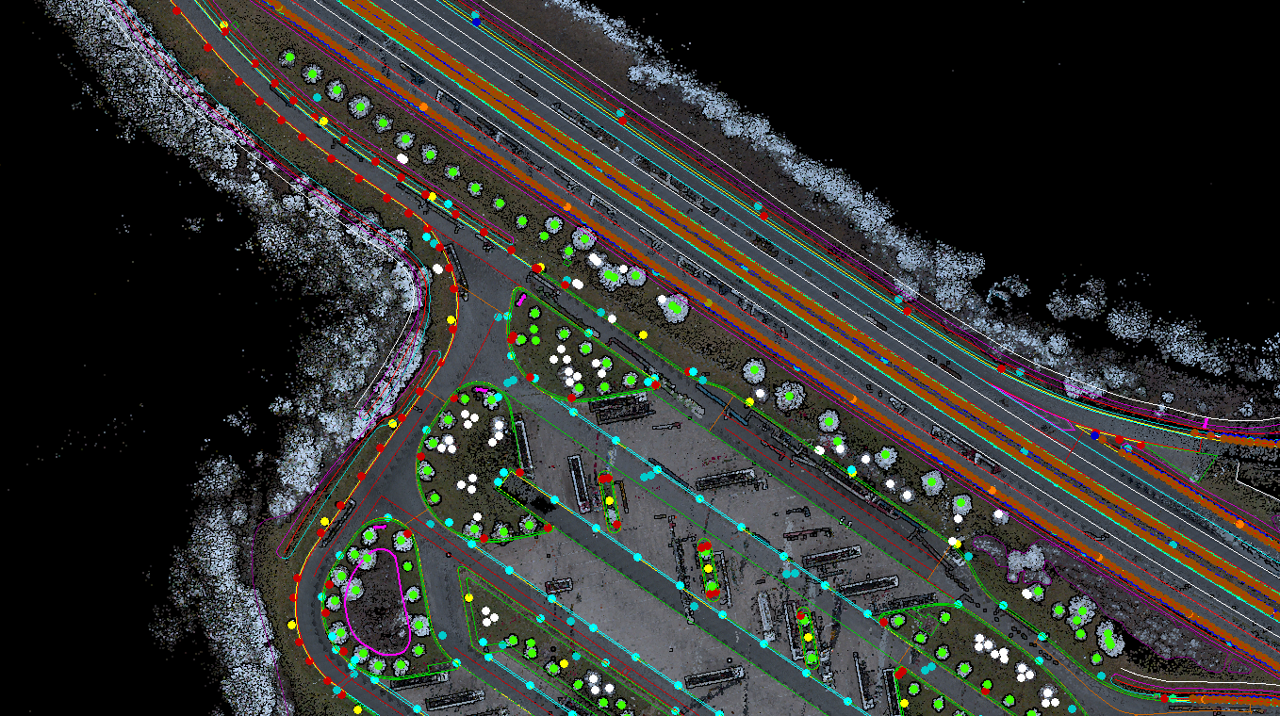
We deliver detailed GIS-based mapping of highway and tunnel assets in both 2D and 3D formats. Our services convert transportation corridors into structured digital asset inventories with precise locations, classifications, attribute information, and spatial relationships.

The resulting datasets support infrastructure management, maintenance planning, safety compliance, and digital twin initiatives.

road infrstructure mapping

Services include:

Roadway infrastructure including carriageways, pavement markings, emergency stopping bays, and barrier systems
Bridge-related assets such as bridges, retaining walls, load-bearing structures, and overhead constructions
Safety infrastructure including restraint systems, emergency call stations, and roadside protection elements
Traffic management devices such as traffic signs, electronic displays, speed enforcement cameras, and guide panels
Utility and operational equipment including lighting poles, control cabinets, sewer access shafts, and monitoring systems
Environmental infrastructure such as noise protection barriers, service access doors, and wildlife fencing installations
Tunnel-related assets including ventilation systems, loudspeakers, tunnel lighting, and internal track infrastructure
Tunnel safety equipment including emergency installations, fixed signage, and variable message systems

Typical Inputs:
Mobile mapping datasets, tunnel survey information, point cloud data, imagery, and GIS/CAD datasets

Typical Outputs:
Structured GIS layers and 3D asset models containing classified highway and tunnel infrastructure data in Shapefile, Geodatabase, CAD, and 3D formats
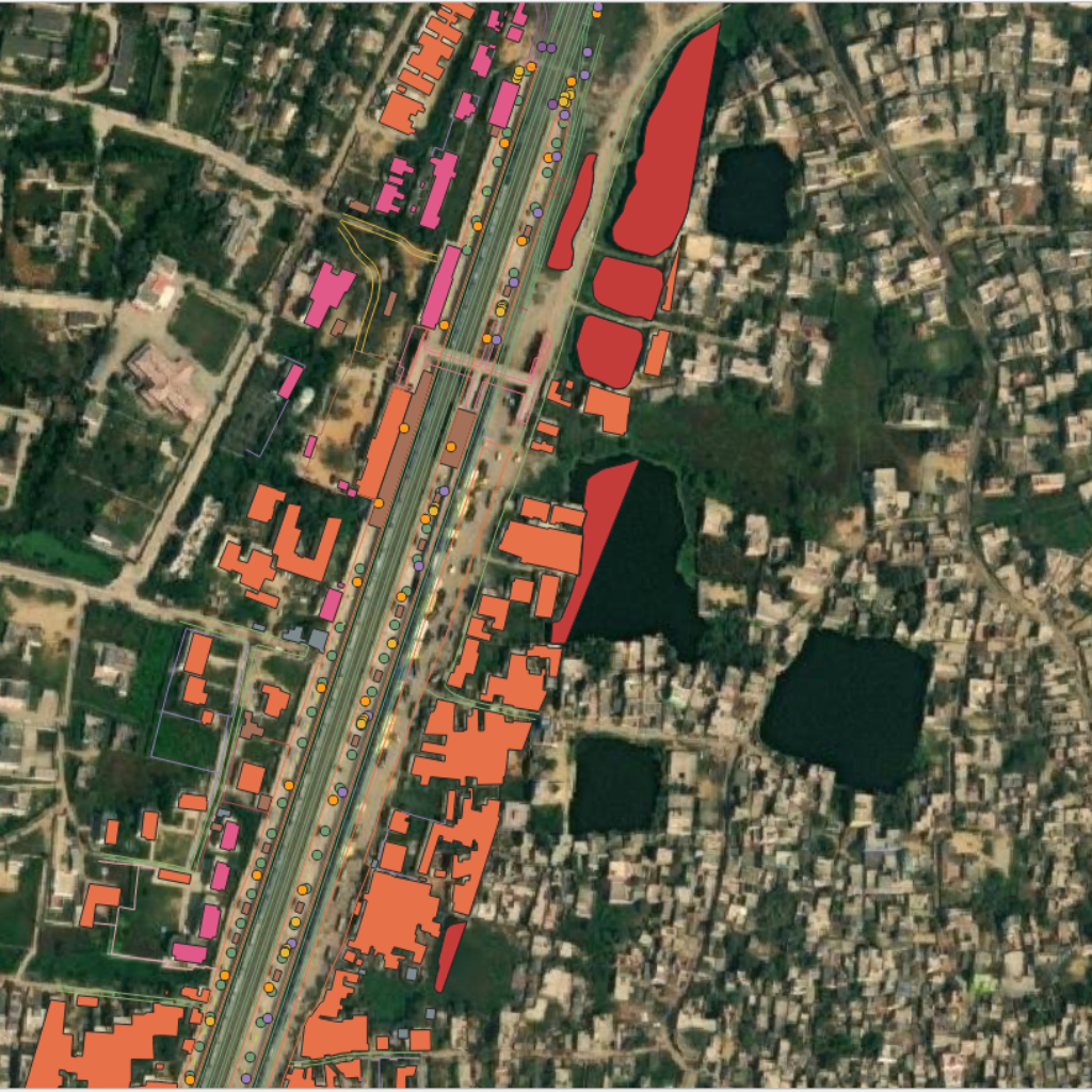
Services Include:

Rail track infrastructure including rails, sleepers, ballast, switches, crossings, and track alignment geometry
Station and platform assets such as platforms, canopies, access points, stairways, elevators, and passenger areas
Signaling infrastructure including railway signals, route indicators, control equipment, and safety systems
Power supply and electrification components such as overhead lines, masts, substations, cable corridors, and utility poles
Civil engineering structures including bridges, tunnels, retaining walls, culverts, and drainage systems
Safety and security infrastructure including fencing, level crossings, CCTV systems, emergency installations, and protective barriers
Operational and technical equipment such as cabinets, equipment rooms, communication systems, and service facilities
Environmental and corridor features including vegetation areas, embankments, noise barriers, and railway boundary zones

Typical Inputs:
Mobile mapping datasets, aerial imagery, point cloud data, survey information, and GIS/CAD datasets

Typical Outputs:
Structured GIS layers and 3D asset models containing classified railway infrastructure data in Shapefile, Geodatabase, CAD, and 3D formats
0%

Precision in Data Structuring

0%

Efficient Integration of Multi-Source Data

Key Service Capabilities

Why choose our Mobility Intelligence Services

Let’s collaborate to transform your transport and mobility data into actionable intelligence.