Apex delivers end-to-end utility network documentation services that enable utility operators and infrastructure organizations to digitize, manage, and optimize their underground infrastructure mapping covering electricity, gas, water, and telecom networks with precision.
We also specialize in LiDAR transmission line inspection and overhead T&D asset inspection for transmission and distribution networks, delivering accurate geospatial data digitization, condition evaluation, and proactive corridor and land management.
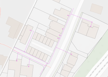
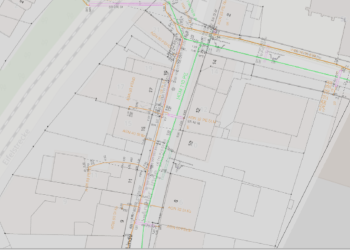
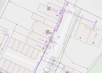
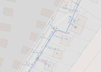
We provide GIS-based utility mapping and network vectorization services for underground cable and pipeline systems, including precise georeferencing and geospatial data digitization of network plans from major construction and underground infrastructure mapping projects. Our network GIS data outputs enable reliable utility network documentation of complex subsurface networks covering electricity, water, gas, and telecommunications.
We help convert analog and multi-source materials into organized, utility GIS data management-ready datasets, maintaining consistency in geometry, attributes, and network connectivity.
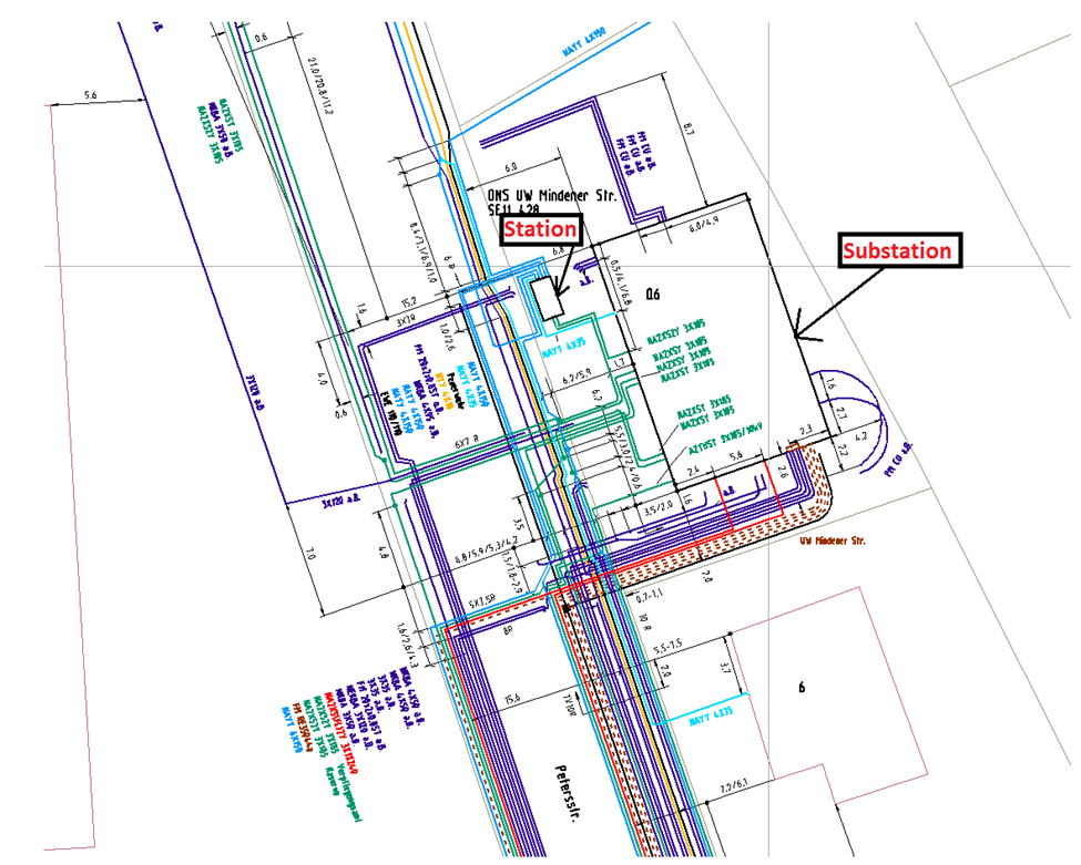
Typical Inputs:
Base maps, scanned drawings, survey data, utility records, site layouts, and related Utility GIS Layers
Typical Outputs:
Structured Utility GIS network databases, georeferenced maps, attributed utility layers, and digital utility network representations
We deliver complete GIS-based Utility network documentation and dimension-driven construction of utility networks, including electricity, water, gas, and telecommunications systems.
Our GIS-based utility mapping process converts diverse source data into organized digital network models with precise geometry, attribute information, and verified connectivity.
Our expertise is dimension-based network construction using Smallworld GIS and other specialized utility GIS data management applications on Smallwork GIS, supporting efficient asset management and operational workflows.
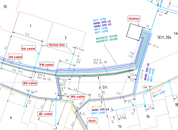
Typical Input
As-built documentation, survey plans, schematic diagrams, circuit layouts
Typical Outputs:
Structured GIS datasets, verified utility networks documentation, spatial data ready for integration
We offer GIS-based network homogenization services to standardize utility network datasets-including electricity, water, gas, and telecom systems-across various GIS platforms and applications. Our approach enhances consistency in geometry, attributes, classifications, and connectivity through the use of standardized processes and client-provided homogenization tools.
The finalized datasets support GIS migration initiatives, platform integration, GIS data quality enhancement, and reliable network operations.
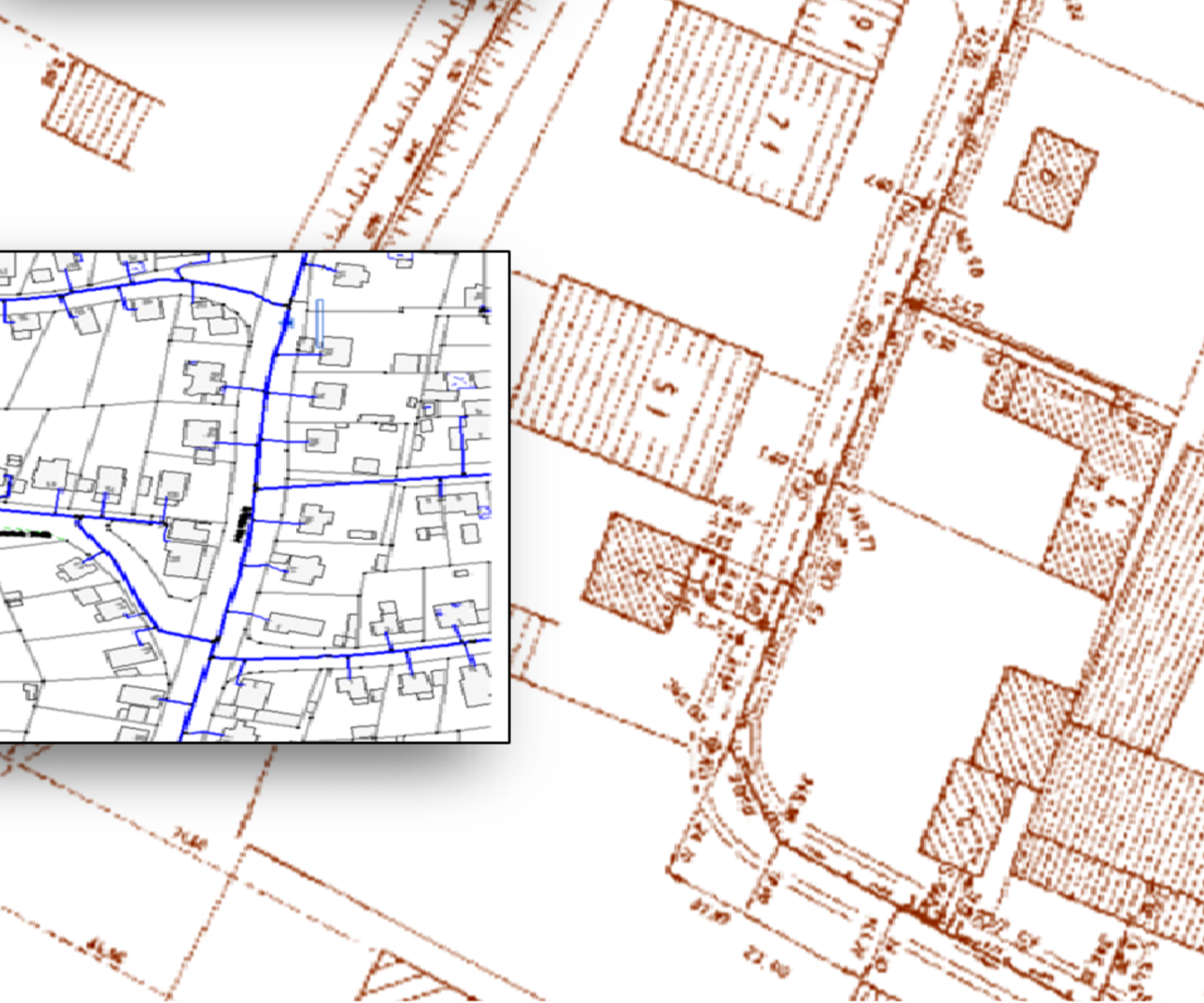
Typical Inputs:
Migrated datasets, cadastral information, multi-source network data
Typical Outputs:
Refined datasets, corrected geometries, standardized GIS-ready outputs
We provide corridor-focused LiDAR transmission line inspection and processing services for overhead transmission and distribution networks, covering power line extraction, support structure mapping, and terrain data generation.
Our workflows transform point cloud processing power lines data into structured, GIS-based utility mapping-compatible datasets with accurate geometry, classification, and spatial relationships supporting overhead T&D asset inspection, corridor analysis, and infrastructure upgrades.
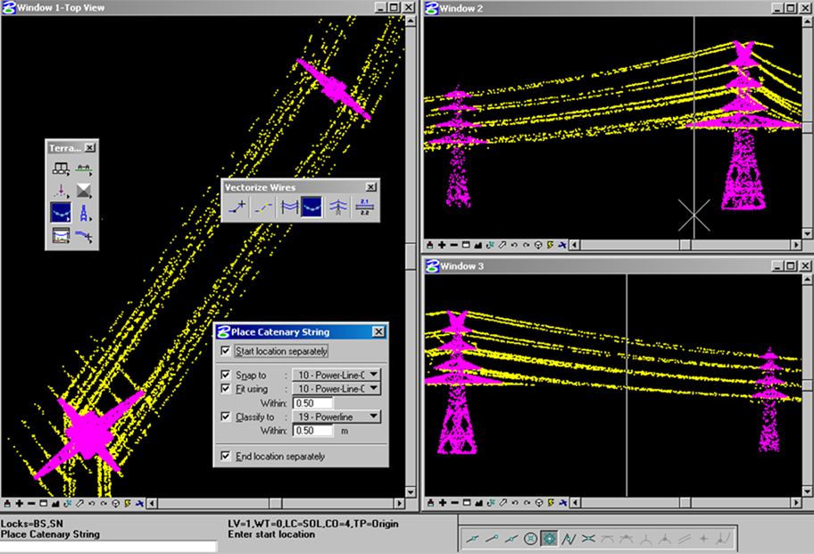
Typical Inputs:
LiDAR datasets, trajectory information, imagery
Typical Outputs:
Processed point cloud processing power lines datasets, corridor outputs, terrain models
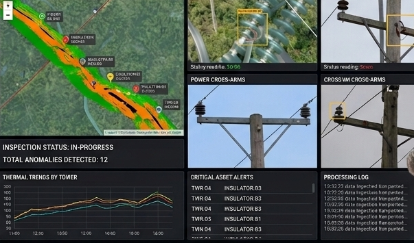
We provide desktop-based overhead T&D asset inspection services for transmission and distribution networks, using imagery, LiDAR transmission line inspection data, and geospatial datasets.
Our desktop based inspection service accurately detect asset defects, clearance violations, structural concerns, and corridor encroachments with precise spatial referencing supporting preventive maintenance programs, regulatory compliance, outage prevention, and efficient utility GIS data management.
Typical Inputs:
LiDAR point clouds, imagery, corridor data
Typical Outputs:
Vegetation risk maps, clearance analysis reports, GIS layers