Geospatial Data Processing

Apex processes raw location data into accurate, geospatial intelligence.

Precision Vector Data Processing with Structured Workflows

Apex provides sophisticated vector data solutions that allow enterprises to create organized geospatial databases, combine diverse datasets, and produce practical insights

Our expertise supports infrastructure design, asset lifecycle oversight, digital twin programs, and data-led decision processes across energy, transport, utilities, and environmental industries.

Geodata and Vector Processing Services

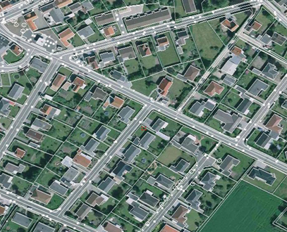
We convert maps, technical drawings, satellite images, scanned documents, and engineering records into precise GIS/CAD datasets using data conversion, raster-to-vector transformation, geometry-based vectorization, feature capture, CAD-to-GIS migration, topology refinement, and digitization of utility systems, land boundaries, building outlines, and infrastructure assets to support dependable planning and operational workflows.

Services include:

  • Data Conversion: GIS/CAD Transformation of maps, drawings, satellite imagery, and scanned documents.
  • Precision Vectorization Dimension-Led Vectorization of networks and infrastructure features
  • Raster Processing: Conversion from raster-to-vector (utility, cadastral, as-built).
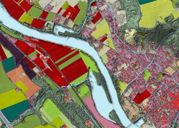
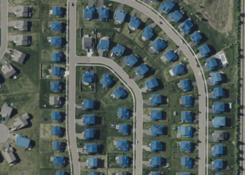
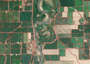
  • Feature Extraction: Extraction of building footprints, roads, rivers, boundaries, and land cover.
  • System Translation: Translation from CAD-to-GIS (converting dimensions, layers, symbols, blocks).
  • Topology Cleaning: Geometry Repair & Topology Improvement (editing, converting, or restructuring vector geometries or attributes).
  • Asset Digitization: Creation of utility networks, land parcels, building footprints, and infrastructure assets

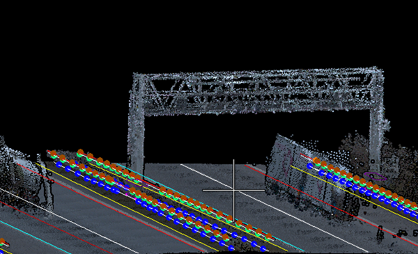
Apex provides specialized 3D vector services that convert spatial data into precise, structured 3D models using GIS, CAD, LiDAR, and photogrammetry sources. These datasets assist infrastructure planning, digital twins, and engineering operations.

We transform complex spatial information into refined 3D outputs that improve visualization, support deeper analysis, and guide informed decisions across urban, utility, and environmental projects.
Services include:

  • 3D Feature Modeling: Creating 3D buildings, infrastructure, and utility networks from GIS, CAD, and elevation data.
  • 3D Data Conversion & Integration: Transforming 2D GIS, CAD, BIM, and LiDAR data into structured 3D vector datasets.
  • 3D Terrain & Surface Modeling: Developing elevation models, TIN surfaces, contours, and terrain derivatives for analysis.
  • 3D Data Enhancement & Editing: Improving geometry, height attributes, detail levels, and model accuracy.
  • 3D Visualization & Scene Development: Preparing interactive 3D maps, spatial scenes, and visualization-ready datasets.
  • 3D Data Management & Integration: Organizing and integrating 3D vector data within geodatabases and enterprise GIS systems.

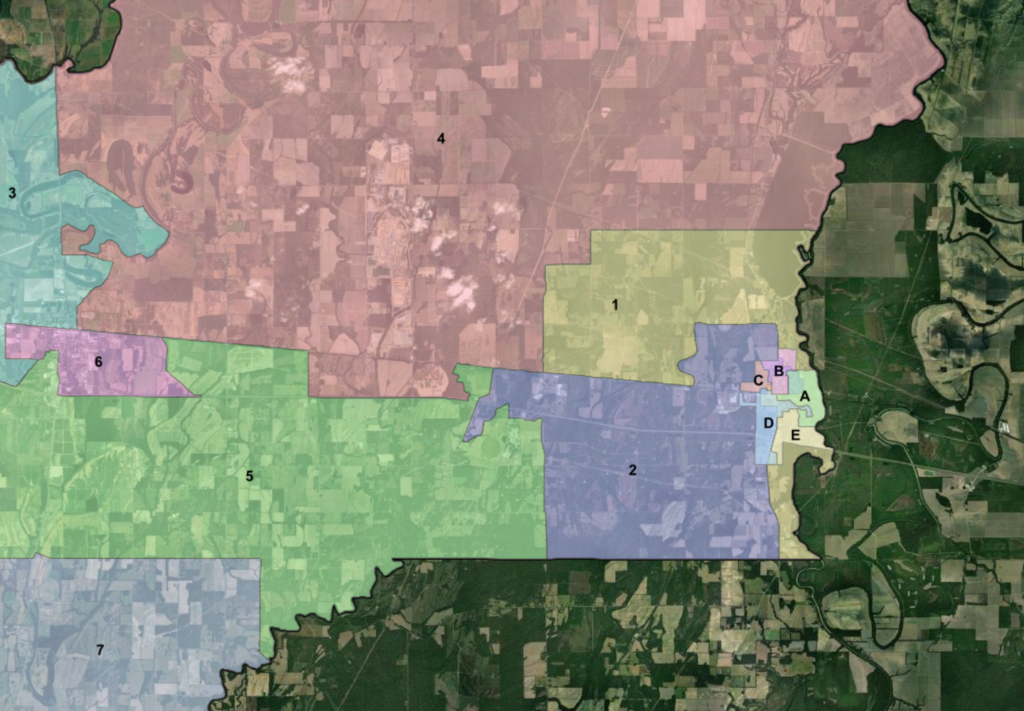
Apex provides end-to-end cartography services for global clients, combining geospatial expertise with quality map design and visualization. Our services include data preparation, database structuring, styling, labeling, and delivery of publication-ready maps. We also create tailored solutions such as regional database adaptation, wall maps, fold maps, and thematic atlases.

Our focus is on converting complex spatial datasets into clear, structured, and visually effective maps for communication, analysis, and informed decisions.
Untitled (93)

Services include:

  • Map Data Structuring: Creating and organizing geospatial databases for cartographic use with structured, GIS-ready datasets.
  • Cartographic Enhancement: Improving geometry, styling, label placement, and overall map clarity.
  • Map Composition & Design: Developing custom layouts, multi-sheet series, and index-based mapping frameworks.
  • Tailored Map Products: Producing atlas maps, wall maps, foldable maps, and thematic map outputs.
  •  

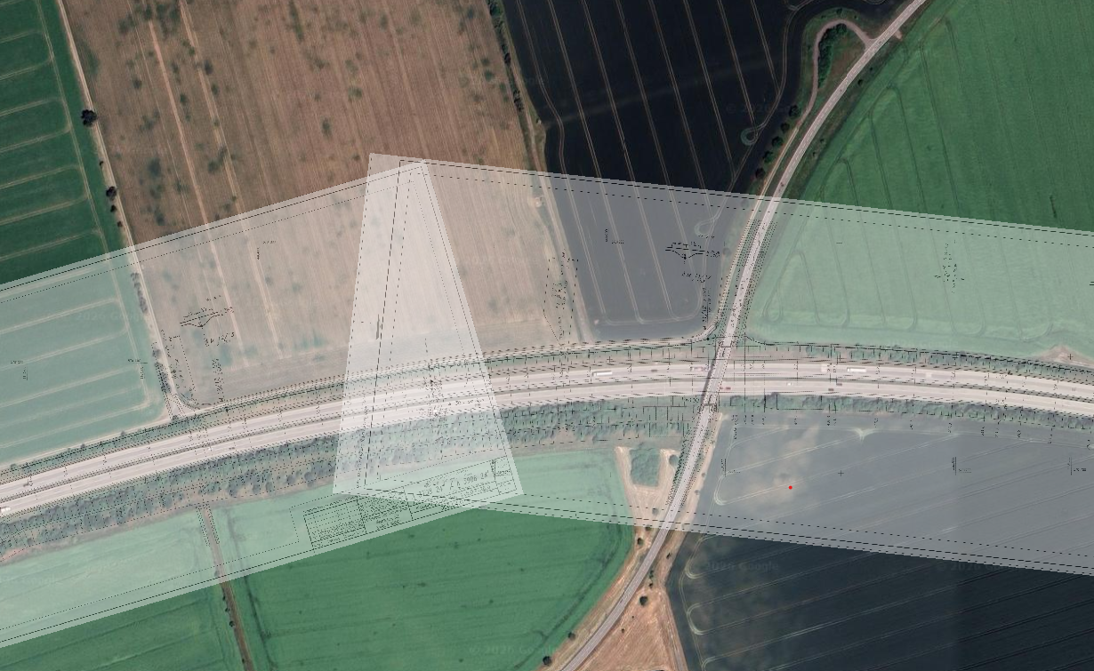
Apex provides specialized georeferencing and geocoding services that precisely connect spatial data with real-world coordinate systems. Our solutions support smooth integration of raster, vector, and address-based datasets within GIS platforms, enabling accurate mapping, spatial analysis, and infrastructure workflows.

Our services ensure that legacy maps, imagery, and location-based records are properly aligned, organized, and transformed into usable geospatial information for enterprise and engineering workflows.
Services include:

  • Georeferencing Services: Converting maps, imagery, photos, and drawings into real-world coordinates using control points and transformation methods.
  • Coordinate Transformation: Reprojecting data between datums and coordinate systems for consistency across spatial datasets.
  • Geocoding Services: Converting addresses and descriptive data into spatial coordinates for GIS use and analysis.
  • Reverse Geocoding & Validation: Extracting location details from coordinates with validation and quality checks
  • Batch Geocoding & Data Processing: Automating large-scale address data processing for utilities, assets, and infrastructure.
  • Data Integration Support: Preparing georeferenced and geocoded data for seamless GIS and database integration.
  •  

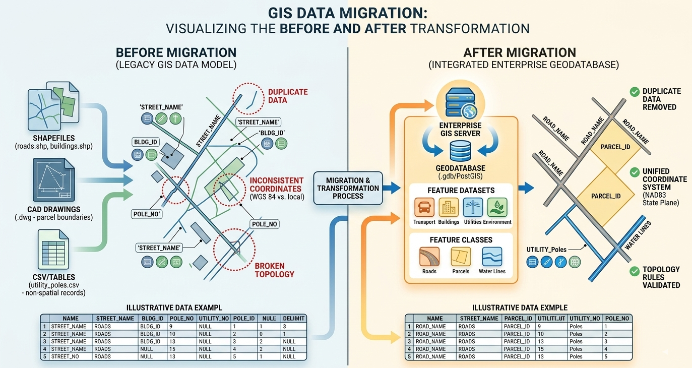
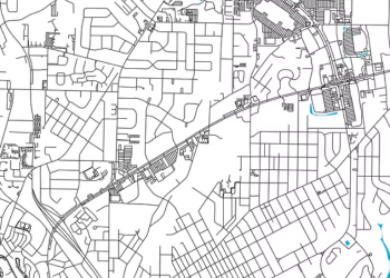
We assist geospatial data transfer projects through post-migration reviews, validation, and manual corrections to maintain data precision, consistency, and compliance with standards. Our focus is on reviewing migrated datasets within GIS platforms and resolving issues related to geometry, attributes, and data integrity.
Services include:

  • Risk Mitigation: Through comprehensive post-migration QA/QC and issue detection
  • Data Quality Enhancement: Through manual repair of geometry and attribute inconsistencies
  • Compliance Strengthening: With client standards, schemas, and spatial data models.
  • Trusted Validation: Of migrated datasets ensuring readiness for operational use.
  • Network Integrity: Confirmation of utility network connectivity, topology consistency, and asset relationships after migration.
  • Operational Preparedness: 
  • Verification of migrated utility datasets to ensure reliable functionality for maintenance, planning, and day-to-day operational activities.
0%

Precision in Data Structuring

0%

Efficient Integration of Multi-Source Data

Our Industry Expertise:

Why Partner With Us?

Need Structured Geospatial Data for Your actionable insights?