Industry Expertise
- Home
- Industry Expertise
Geospatial Services

Network GIS
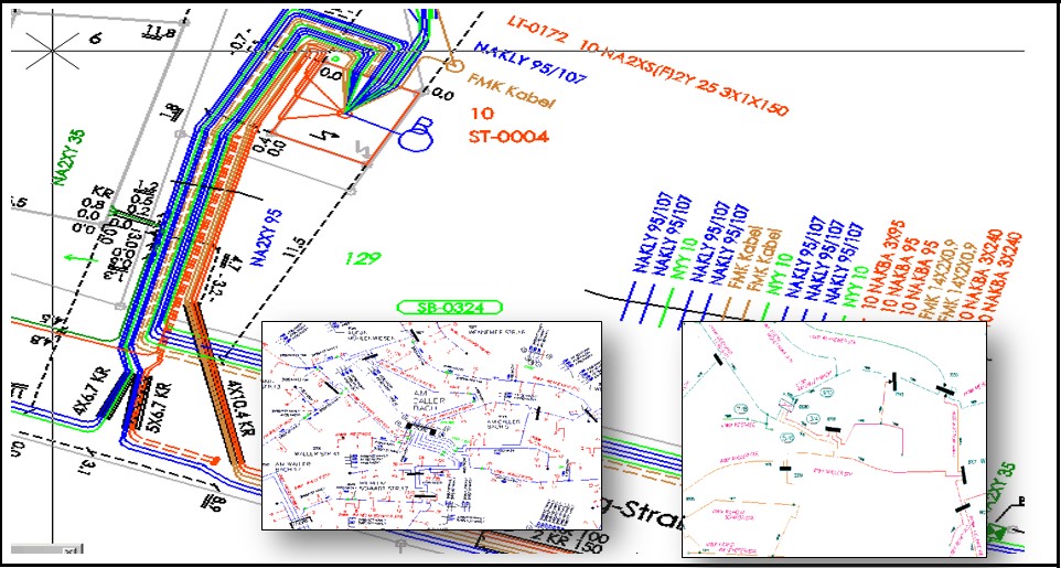
Network Documentation Services:
Apex delivers detailed network documentation within a GIS framework, specializing in utilities like electricity, water, gas, and more.
- Experience: Over 50,000 km of network data processed.
- Proven Track Record: 100+ projects completed for German network operators, ensuring precise and consistent GIS/CAD datasets.
- Service Scope: From simple georeferencing and vectorization to complex multi-disciplinary networks.
Services Include:
- Power Networks: Documentation of low, medium, and high-voltage cables.
- Water Supply: Vectorization of pipelines and water systems.
- Gas Networks: Comprehensive documentation for low to high-pressure pipelines.
- Telecommunications: Mapping fiber optic and telecommunications infrastructure.
- Energy Transfer: Documentation of heat energy, chilled water, and steam networks.
Utility Data Processing
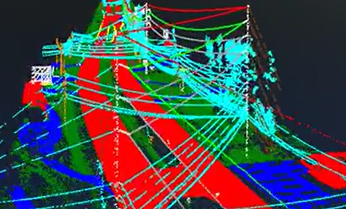
Apex provides high-precision inspections using airborne mapping data, focusing on utilities like power lines, wind turbines, and solar installations.
- Capabilities: Extensive point-cloud classification, data analysis, and expert post-processing.
- Services: GIS data processing for power lines and infrastructure, defect detection, and report generation.
- Example: Inspecting high-voltage lines using LiDAR to classify elements like wires, vegetation, and buildings with high accuracy.


Road & Transportation
Geodata-Road Services:
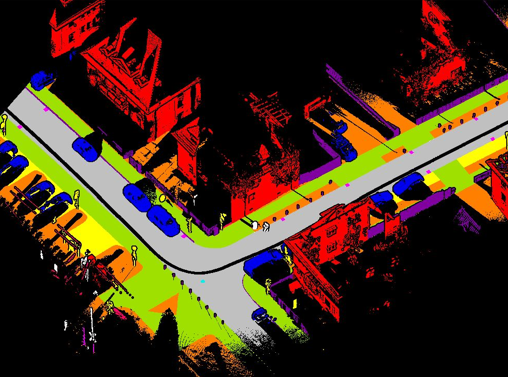
Apex specializes in analyzing data from mobile and airborne mapping systems for road and transportation projects.
Key Features:
- Comprehensive 2D/3D road analysis.
- 200+ completed projects with accurate road data delivery.
- Advanced interpretation of road features and conditions.
- Knowledge of road maintenance regulations.
Services Include:
- Road Infrastructure Analysis: Evaluating paved/unpaved roads and pedestrian paths.
- Cycle Paths: Assessing integrated and separate bicycle paths.
- Road Condition Analysis: Documenting cracks and surface defects.
- Expressways Evaluation: Inspecting traffic signs, markings, and related features.
Land Management
Apex captures and processes geographic data for land use and management using technologies like Photogrammetry, GIS, and LiDAR.
Services Include:
- Sealed Areas: Documentation of rooftops, parking lots, and pathways.
- Green Areas: Mapping parks, forests, and agricultural lands.
- Forest and Tree Management: Documenting forests for environmental purposes.
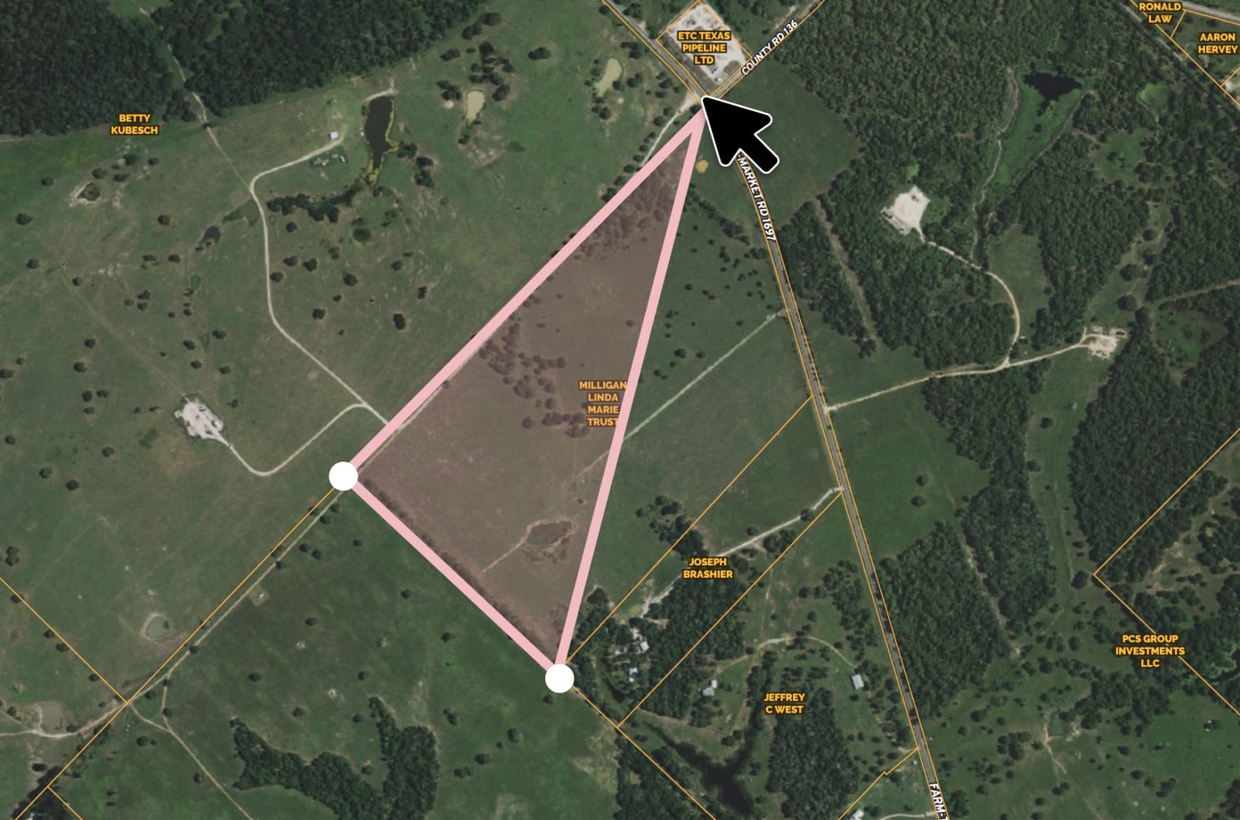
- Cadastral Delineation: Supporting land management with accurate delineations.
Capabilities:
- Comprehensive data processing from airborne/terrestrial sources.
- Expert post-processing for accurate reports and graphical representations.
- Change detection and feature extraction for urban mapping.

BIM Modeling: Architecture

Architectural and Structural Expertise:
Apex specializes in creating detailed architectural and structural models, integrating MEP systems within building designs.
BIM Documentation Specialization:
- Construction Documentation: Detailed plans, sections, elevations, and details sourced from BIM models.
- Plans and Sections: Clear illustrations of architectural and structural elements for on-site implementation.
- Elevations and Details: Comprehensive elevation views and specific construction details.
- Schedules and Reports: Complete material, component, and maintenance schedules.

