Geospatial Services
- Home
- Geospatial Services

Digitization and Vectorization
Apex Etech offers high-quality, cost-effective Geospatial Services focused on data processing and quality checking, specializing in network documentation, road infrastructure, technical cadaster, and utilities using diverse GIS systems.
Key Services Include:
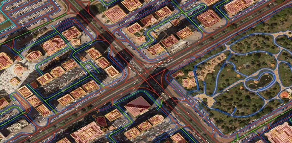
- Digitization of Infrastructure Plans: Convert energy, water, telecom, gas network plans, street networks, and transport infrastructures into accurate digital formats for improved usability.
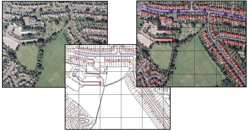
- Digitization of Land Use Maps: Transform analogue land use and urban infrastructure maps into digital formats for enhanced record-keeping and urban management.
- Conversion of Cadaster and Topographical Maps: Ensure precise geographic data through accurate digital conversion.
- Geospatial Data Processing: Includes scaling, edge matching, geocoding, georeferencing, and generalizing maps for data consistency with rigorous QC post-automation for accuracy and integrity.
Photogrammetry Compilation
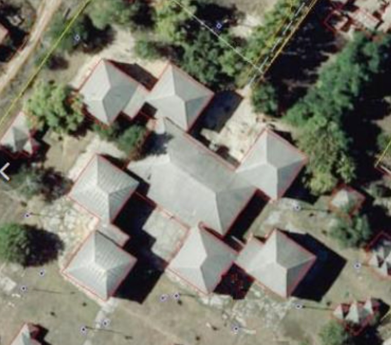
Apex Etech offers a full range of digital Photogrammetry post-processing services. We handle diverse analog and digital inputs from photo flights and cameras for precise results.
Key Competencies:
- Aero triangulation & Adjustments: Ensuring high positional accuracy.
- Planimetric & Topographic Data Collection: Collecting detailed planimetric and topographic data.
- Data Editing & Integration: Enhancing accuracy with dataset integration.
- DEM & DTM Generation: Producing accurate Digital Elevation and Terrain Models.
- Orthophoto Production: Creating distortion-free imagery with seamless quality.
Specializations:
- Sealed Area Mapping: Detailed mapping of surfaces.
- Waterway Network Mapping: Accurate waterway mapping.
- Urban Change Detection: Monitoring urban changes.
- Highway Features Mapping: High-precision highway mapping.


LiDAR Services
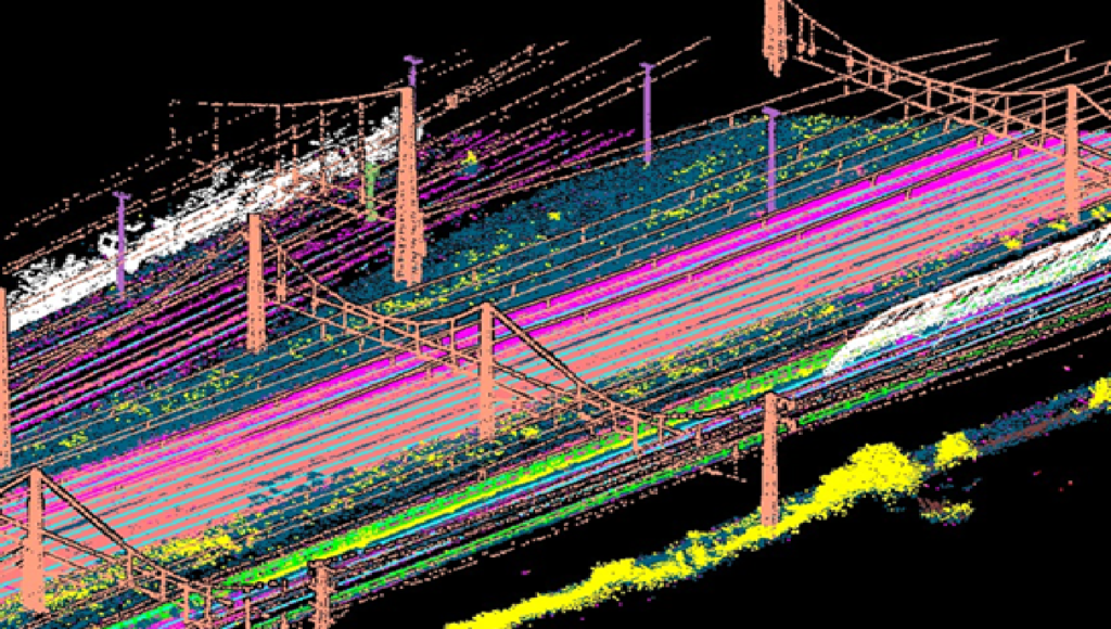
Apex Etech offers expert processing of point cloud, imagery, trajectory, and survey data from airborne, terrestrial, and mobile systems. Our team uses a mix of manual and automated techniques to enhance accuracy and efficiency.
Our Key LiDAR Services Include:
- Point Cloud Processing
- Model Generation:Creating DEM, DTM, and detailed 3D models using various applications.
- Power Line and Feature Modeling:Developing 2D, 3D models of power lines and extracting features from specified (AOI).
- Advanced Classification:Classifying built-up areas, construction sites, and vegetation.
- Mobile Laser Scanning (MLS):Classifying MLS point clouds for accurate environmental representation.
- Mapping and Inventory:Conducting mapping and inventory of roads, railways, and hydrological features.
At Apex Etech we specialize in Utilities Forestry Bathymetry, Mining Industrial Plants and Asset Management
UAV Data Post processing
Apex Etech is specializes in post-processing diverse data, high-quality images, and videos from advanced UAVs with RGB, Near Infrared, Multi-spectral, thermal, and LiDAR sensors.
Our services include:
- Feature Extraction: Mapping vegetation and built-up areas.
- Point Cloud and Image Processing: Detailed analysis of point cloud data and images.
- Inspection of Hard-to-Reach Areas: Analyzing power lines, windmills, and inaccessible sites.
- DEM Conversion: Creating Digital Elevation Models from point clouds.
- 2D and 3D Compilation: Accurate 2D and 3D modeling.
- Vegetation Mapping: Analyzing tree dimensions.
- Remote Sensing: Topographic mapping, land use vectorization, change detection, texture analysis, and watershed monitoring.


Remote Sensing Services
and cover changes using advanced multispectral and sensor satellite data.
Our Services Include:
- Topographic Mapping: create detailed and accurate topographic maps from satellite and aerial data to support various applications.
- Land Use Vectorization: Converting land use, cover, and vegetation data into vector format
- Change Detection & Texture Analysis: To identify and evaluate changes in features across different periods and analyzing textures and merging datasets to enhance data quality and utility.
- Watershed Monitoring: assessing watershed conditions using multitemporal data to support environmental management and planning.
- Digital Cartography and classification: Developing comprehensive digital cartographic databases for planning, implementing both supervised and unsupervised classification methods to categorize land cover and land use accurately.
3D Geo and Engineering Solutions
Apex Etech’s broad expertise in the 3D domain include services like:
- 3D City Models Developing detailed city models (LOD1, LOD2, LOD3) with textures using photogrammetry and LiDAR.
- 3D Stereophotogrammetric Evaluation: Conducting precise 3D measurements and analyses.
- 3D Terrain Models: Generating accurate terrain models from point clouds and photogrammetrically determined break lines.
- Urban Infrastructure Mapping: Assessing urban infrastructure and utility assets for condition and characteristics.
- Photo-Realistic Rendering: Enhancing 3D models with realistic colors and details through photo documentation.


Custom Software and Application Development
We offers tailored software and application development services for the geospatial industry.
Our Development Services Include:
- GIS Application Development: Custom applications for enhanced spatial data management.
- Mobile GIS Solutions: Developing mobile GIS applications for on-the-go data access and fieldwork.
- Web GIS Development: Customizing web GIS platforms to integrate and visualize spatial data online.
- GIS Integration: Maintaining spatial databases and tool integration.
- Location-Based Apps: Developing and creating applications that utilize location data for targeted functionality and services and leverage spatial information systems for applications
- Comprehensive Data Management: Building data management applications with cross-platform migration solutions for seamless data handling.
Is there a specific service you're looking for that we haven't mentioned?
What you see here are only a few examples of our services. Our capabilities are broader and can meet more diverse needs. Simply contact us with your specific requirements.
